Muskingum River Navigation Historic District
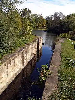
The Muskingum River Navigation Historic District is a 6,004 acres (24.30 km2) historic district in Ohio's Coshocton, Morgan, Muskingum, and Washington counties, which was listed on the National Register of Historic Places in 2007. The listing includes 12 contributing buildings, 32 contributing structures, and a contributing site.[1]
Muskingum River Navigation Historic District | |
 | |
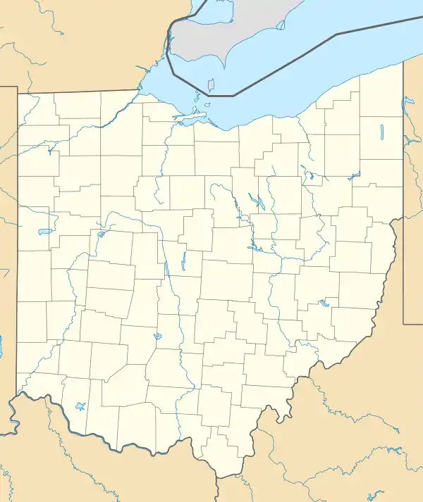  | |
| Nearest city | Coshocton, Ohio Coshocton, Muskingum, Morgan, Washington counties |
|---|---|
| Coordinates | 40°17′2″N 81°52′39″W |
| Area | 6,004 acres (24.30 km2) |
| Built | 1816 |
| Architect | Bates, David,; Curtis, Samuel, et al. |
| Architectural style | stenwheeler |
| NRHP reference No. | 07000025[1] |
| Added to NRHP | February 9, 2007 |
The "Muskingum River lock system was designated the first Navigation Historic District in the United States by the National Park Service."[2]
It is traversed by the Muskingum River Water Trail.[2]
See also
- Muskingum River Lock No. 10 and Canal, NRHP-listed
References
- "National Register Information System". National Register of Historic Places. National Park Service. November 2, 2013.
- "title" (PDF).
| Topics | |
|---|---|
| Lists by state |
|
| Lists by insular areas | |
| Lists by associated state | |
| Other areas | |
| Related | |
| |
This article is issued from Wikipedia. The text is licensed under Creative Commons - Attribution - Sharealike. Additional terms may apply for the media files.