N65 highway (Philippines)
The National Route 65 (N65) forms part of the Philippine highway network. It runs through central Cavite and northern Laguna.[1][2]
| ||||
|---|---|---|---|---|
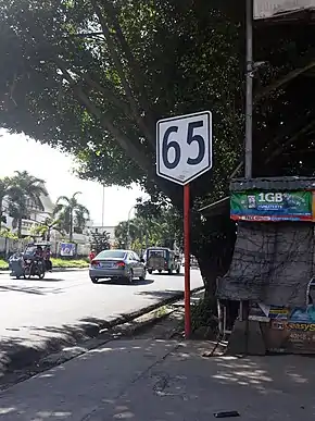 Route reassurance sign in Trece Martires, Cavite | ||||
| Route information | ||||
| Maintained by the Department of Public Works and Highways | ||||
| Length | 27.311 km (16.970 mi) | |||
| Major junctions | ||||
| West end | ||||
| ||||
| East end | ||||
| Location | ||||
| Provinces | Cavite and Laguna | |||
| Major cities | Trece Martires, General Trias, Dasmariñas, Biñan | |||
| Towns | General Mariano Alvarez, Silang, Carmona | |||
| Highway system | ||||
| ||||
.svg.png.webp)
Route description
Trece Martires to Dasmariñas
N65 forms the physical continuation of N403, known as Governor's Drive, from Naic. It starts at the junction with N64 (Tanza–Trece Martires Road) and N404 (Trece Martires–Indang Road) in Trece Martires, Cavite. It then traverses General Trias, where it crosses Crisanto M. de los Reyes Avenue in barangay Manggahan and Arnaldo Highway in barangay San Francisco, before entering Dasmariñas.
Dasmariñas to Carmona
N65 continues as Governor's Drive as it traverses Dasmariñas, where it intersects with N410 (Aguinaldo Highway), the boundary of General Mariano Alvarez and Silang, and Carmona.
In Dasmariñas, N65 also branches from Governor's Drive to Aguinaldo Highway as Pala-pala Road, diverting motorists from the junction of the two aforementioned highways.
Carmona to Biñan
In Carmona, N65 turns into the town proper as Loyola Street, while N651 diverts Governor's Drive away from the town proper. N65 then returns to Governor's Drive at the Carmona Rotonda before crossing over E2/AH26 (South Luzon Expressway), which is accessible via Carmona Exit. Past the Carmona Bridge at the provincial boundary of Cavite and Laguna, N65 continues as General Malvar Street and ends at N1 (Manila South Road) in Biñan; the street continues as an unnumbered route into the old Biñan town proper.
References
- "2016 DPWH Road Data". Department of Public Works and Highways. Archived from the original on 9 January 2018. Retrieved 8 March 2018.
- "Road and Bridge Inventory". Department of Public Works and Highways. Retrieved June 22, 2020.
External links
| National primary roads |
| |||||||
|---|---|---|---|---|---|---|---|---|
| National secondary roads |
| |||||||
See also: Philippine expressway network | ||||||||
| Expressways |
| ||||||||
|---|---|---|---|---|---|---|---|---|---|
| National roads |
| ||||||||
| Arterial Routes |
| ||||||||
| Expressways |
| ||||||
|---|---|---|---|---|---|---|---|
| National highways |
| ||||||
| Provincial roads and other major roads |
| ||||||