Pinetop, Minnesota
Pinetop is an unincorporated community in Koochiching County, Minnesota, United States; located within the Pine Island State Forest. The community is located east of Mizpah; and south of Gemmell; along Koochiching County Road 6 (CR 6).
Pinetop | |
|---|---|
 Pinetop  Pinetop | |
| Coordinates: 47°54′21″N 94°06′07″W | |
| Country | United States |
| State | Minnesota |
| County | Koochiching |
| Elevation | 1,342 ft (409 m) |
| Time zone | UTC-6 (Central (CST)) |
| • Summer (DST) | UTC-5 (CDT) |
| ZIP code | 56660 and 56661 |
| Area code(s) | 218 |
| GNIS feature ID | 657853[1] |
County Roads 12 and 25; and State Highway 1 (MN 1) are also nearby. The center of Pinetop is generally considered near the intersection of Koochiching County Road 6 and Town Road 379.
Caldwell Brook and Pancake Creek both flow through the community.
Pinetop is located within Northome Unorganized Territory. Nearby places include Mizpah, Northome, Gemmell, and Wildwood. Pinetop is located seven miles east of Mizpah and is nine miles east of Northome; and 68 miles southwest of International Falls.
ZIP codes 56660 (Mizpah) and 56661 (Northome) meet at Pinetop.
The community was named for a single tall white pine tree.[2]
References
- "Pinetop, Minnesota". Geographic Names Information System. United States Geological Survey.
- Warren Upham (1920). Minnesota Geographic Names: Their Origin and Historic Significance. Minnesota Historical Society. p. 284.
- Mn/DOT map of Koochiching County – Sheet 1 – 2011 edition
Municipalities and communities of Koochiching County, Minnesota, United States | ||
|---|---|---|
| Cities | 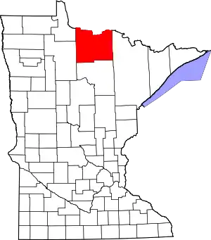 Map of Minnesota highlighting Koochiching County | |
| Unorganized territories | ||
| Unincorporated communities | ||
| Indian reservations | ||
| Ghost towns | ||
| Footnotes | ‡This populated place also has portions in an adjacent county or counties | |
| ||