Poocham, New Hampshire
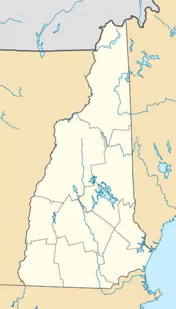
Poocham is an unincorporated community in the town of Westmoreland in Cheshire County, New Hampshire, United States, near the larger communities of Keene, New Hampshire and Brattleboro, Vermont.
Poocham, New Hampshire | |
|---|---|
 Poocham  Poocham | |
| Coordinates: 42°57′02″N 72°28′38″W | |
| Country | United States |
| State | New Hampshire |
| County | Cheshire |
| Town | Westmoreland |
| Elevation | 676 ft (206 m) |
| Time zone | UTC-5 (Eastern (EST)) |
| • Summer (DST) | UTC-4 (EDT) |
| Area code(s) | 603 |
| GNIS feature ID | 869299[1] |
Poocham's oldest houses date from around 1800. By reputation, the name Poocham comes from an Abenaki Indian word meaning "gathering place". The community is almost entirely composed of homes and farms, but a small fluorite mine (called William Wise Mine[2]) and growing vineyard (called Poocham Hill Winery[3][4][5]) are also present.
_2012-07-20.jpg.webp)
Fluorite rock from William Wise Mine
References
- "Poocham". Geographic Names Information System. United States Geological Survey.
- "I Dig Rocks". www.idigrocks.com. Retrieved 2020-12-04.
- "Poocham Hill Winery | iBrattleboro.com". www.ibrattleboro.com. Retrieved 2020-12-04.
- "brkrna". www.nh.gov. Retrieved 2020-12-04.
- "About the Wineries, Map & Directions". Zenfolio | River Valley Artisans. Retrieved 2020-12-04.
External links
Municipalities and communities of Cheshire County, New Hampshire, United States | ||
|---|---|---|
| City | 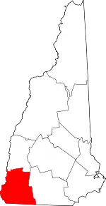 Map of New Hampshire highlighting Cheshire County | |
| Towns | ||
| CDPs | ||
| Other villages | ||
| ||
This article is issued from Wikipedia. The text is licensed under Creative Commons - Attribution - Sharealike. Additional terms may apply for the media files.