Drewsville, New Hampshire
Drewsville is an unincorporated community in the town of Walpole in Cheshire County, New Hampshire.
Drewsville, New Hampshire | |
|---|---|
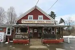 Drewsville General Store | |
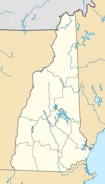 Drewsville  Drewsville | |
| Coordinates: 43°07′40″N 72°23′32″W | |
| Country | United States |
| State | New Hampshire |
| County | Cheshire |
| Town | Walpole |
| Elevation | 479 ft (146 m) |
| Time zone | UTC-5 (Eastern (EST)) |
| • Summer (DST) | UTC-4 (EDT) |
| ZIP code | 03604 |
| Area code(s) | 603 |
| GNIS feature ID | 866636[1] |
The village is located in the northeastern corner of Walpole, just south of the valley of the Cold River. New Hampshire Route 123 passes through the village, connecting it with Alstead to the east and the rest of Walpole (including North Walpole) and Bellows Falls, Vermont to the west.
Drewsville has a separate ZIP code (03604) from other areas in the town of Walpole.
References
Municipalities and communities of Cheshire County, New Hampshire, United States | ||
|---|---|---|
| City | 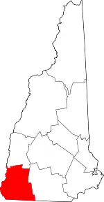 Map of New Hampshire highlighting Cheshire County | |
| Towns | ||
| CDPs | ||
| Other villages | ||
| ||
This article is issued from Wikipedia. The text is licensed under Creative Commons - Attribution - Sharealike. Additional terms may apply for the media files.