Pułtusk County
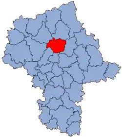
Pułtusk County (Polish: powiat pułtuski) is a unit of territorial administration and local government (powiat) in Masovian Voivodeship, east-central Poland. It came into being on January 1, 1999, as a result of the Polish local government reforms passed in 1998. Its administrative seat and only town is Pułtusk, which lies 54 kilometres (34 mi) north of Warsaw.
Pułtusk County
Powiat pułtuski | |
|---|---|
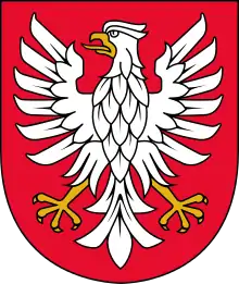
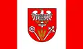 Flag  Coat of arms | |
 Location within the voivodeship | |
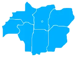 Division into gminas | |
| Coordinates (Pułtusk): 52°42′N 21°5′E | |
| Country | |
| Voivodeship | Masovian |
| Seat | Pułtusk |
| Gminas | |
| Area | |
| • Total | 828.63 km2 (319.94 sq mi) |
| Population (2019) | |
| • Total | 51,862 |
| • Density | 63/km2 (160/sq mi) |
| • Urban | 19,432 |
| • Rural | 32,430 |
| Car plates | WPU |
| Website | http://starostwopultusk.org.pl/ |
The county covers an area of 828.63 square kilometres (319.9 sq mi). As of 2019 its total population is 51,862, out of which the population of Pułtusk is 19,432 and the rural population is 32,430.[1]
Neighbouring counties
Pułtusk County is bordered by Maków County to the north, Wyszków County to the east, Legionowo County to the south, Nowy Dwór Mazowiecki County to the south-west, and Płońsk County and Ciechanów County to the west.
Administrative division
The county is subdivided into seven gminas (one urban-rural and six rural). These are listed in the following table, in descending order of population.
| Gmina | Type | Area (km2) |
Population (2019) |
Seat |
| Gmina Pułtusk | urban-rural | 133.7 | 24,659 | Pułtusk |
| Gmina Pokrzywnica | rural | 121.0 | 5,013 | Pokrzywnica |
| Gmina Zatory | rural | 121.6 | 4,851 | Zatory |
| Gmina Obryte | rural | 139.7 | 4,829 | Obryte |
| Gmina Świercze | rural | 93.0 | 4,617 | Świercze |
| Gmina Winnica | rural | 115.1 | 4,096 | Winnica |
| Gmina Gzy | rural | 104.4 | 3,797 | Gzy |
References
- GUS. "Population. Size and structure and vital statistics in Poland by territorial divison in 2019. As of 30th June". stat.gov.pl. Retrieved 2020-09-14.
| Seat | | |
|---|---|---|
| Urban-rural gmina | ||
| Rural gminas | ||