Remada
Remada (Arabic: رمادة) is a town in Tunisia, close to the border with Libya. It is located at around 32°18′22″N 10°22′56″E. Remada was built as a garrison town by the French and is today home to a Tunisian military base.
Remada | |
|---|---|
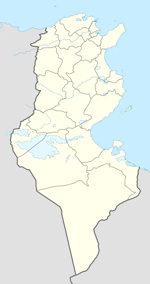 Remada Location in Tunisia | |
| Coordinates: 32°18′22″N 10°22′56″E | |
| Country | |
| Governorate | Tataouine Governorate |
| Population (2014) | |
| • Total | 6,315 |
| Time zone | UTC1 (CET) |
During the First World War, the French occupied the city and built houses for their soldiers.
Climate
| Climate data for Remada (1981–2010, extremes 1950–2017) | |||||||||||||
|---|---|---|---|---|---|---|---|---|---|---|---|---|---|
| Month | Jan | Feb | Mar | Apr | May | Jun | Jul | Aug | Sep | Oct | Nov | Dec | Year |
| Record high °C (°F) | 30.0 (86.0) |
35.3 (95.5) |
38.4 (101.1) |
41.4 (106.5) |
45.0 (113.0) |
47.3 (117.1) |
48.5 (119.3) |
47.3 (117.1) |
44.9 (112.8) |
40.7 (105.3) |
35.3 (95.5) |
30.3 (86.5) |
48.5 (119.3) |
| Average high °C (°F) | 16.3 (61.3) |
18.7 (65.7) |
22.2 (72.0) |
26.6 (79.9) |
31.2 (88.2) |
35.2 (95.4) |
37.4 (99.3) |
37.6 (99.7) |
34.0 (93.2) |
29.2 (84.6) |
22.6 (72.7) |
17.5 (63.5) |
27.4 (81.3) |
| Daily mean °C (°F) | 11.3 (52.3) |
13.1 (55.6) |
16.2 (61.2) |
19.9 (67.8) |
24.0 (75.2) |
27.6 (81.7) |
29.8 (85.6) |
30.2 (86.4) |
27.3 (81.1) |
23.2 (73.8) |
17.3 (63.1) |
12.6 (54.7) |
21.0 (69.9) |
| Average low °C (°F) | 6.9 (44.4) |
7.9 (46.2) |
10.5 (50.9) |
13.5 (56.3) |
17.1 (62.8) |
20.4 (68.7) |
22.4 (72.3) |
23.3 (73.9) |
21.4 (70.5) |
17.8 (64.0) |
12.4 (54.3) |
8.2 (46.8) |
15.2 (59.3) |
| Record low °C (°F) | −1.4 (29.5) |
−4.9 (23.2) |
−0.4 (31.3) |
3.5 (38.3) |
8.1 (46.6) |
12.0 (53.6) |
14.2 (57.6) |
14.7 (58.5) |
12.6 (54.7) |
6.9 (44.4) |
3.0 (37.4) |
−5.9 (21.4) |
−5.9 (21.4) |
| Average precipitation mm (inches) | 10.9 (0.43) |
8.3 (0.33) |
12.5 (0.49) |
5.3 (0.21) |
4.7 (0.19) |
1.1 (0.04) |
0.1 (0.00) |
0.7 (0.03) |
6.1 (0.24) |
11.0 (0.43) |
9.0 (0.35) |
13.0 (0.51) |
82.7 (3.25) |
| Average precipitation days (≥ 1.0 mm) | 2.0 | 1.8 | 2.5 | 1.1 | 0.9 | 0.5 | 0.0 | 0.3 | 1.2 | 1.3 | 1.7 | 1.9 | 15.2 |
| Average relative humidity (%) | 62 | 55 | 55 | 53 | 52 | 50 | 49 | 52 | 58 | 58 | 59 | 63 | 56 |
| Mean monthly sunshine hours | 201.5 | 207.2 | 248.0 | 261.0 | 282.1 | 297.0 | 350.3 | 331.7 | 264.0 | 241.8 | 213.0 | 195.3 | 3,092.9 |
| Source: Institut National de la Météorologie (precipitation days/humidity/sun 1961–1990)[1][2][3][note 1] | |||||||||||||
Notes
- The Station ID for Remada is 57272511.[4]
References
- "Les normales climatiques en Tunisie entre 1981 2010" (in French). Ministère du Transport. Archived from the original on 19 December 2019. Retrieved 25 January 2020.
- "Données normales climatiques 1961-1990" (in French). Ministère du Transport. Archived from the original on 21 December 2019. Retrieved 25 January 2020.
- "Les extrêmes climatiques en Tunisie" (in French). Ministère du Transport. Archived from the original on 21 December 2019. Retrieved 25 January 2020.
- "Réseau des stations météorologiques synoptiques de la Tunisie" (in French). Ministère du Transport. Retrieved 25 January 2020.
External links
This article is issued from Wikipedia. The text is licensed under Creative Commons - Attribution - Sharealike. Additional terms may apply for the media files.