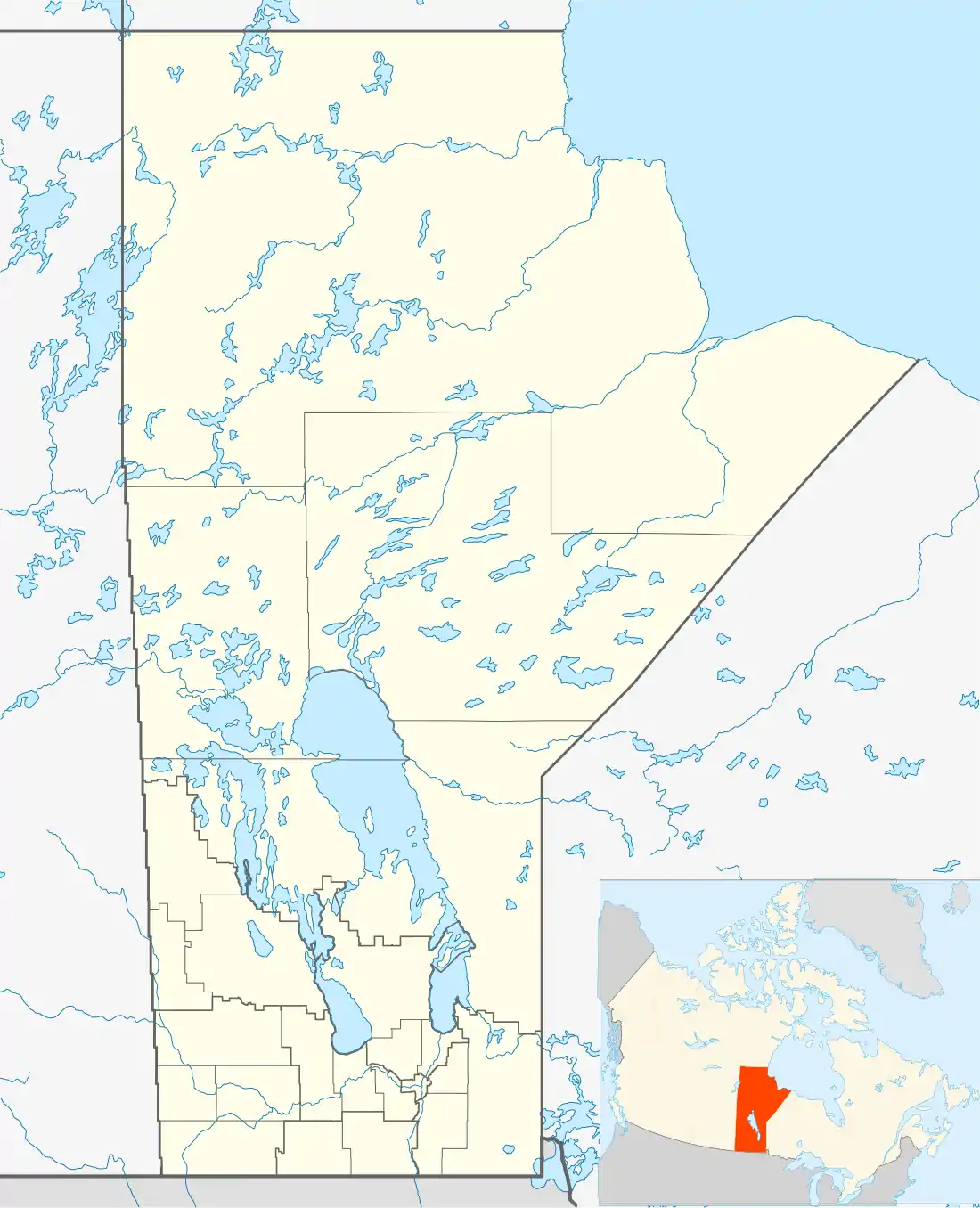
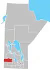
Shoal Lake, Manitoba
Shoal Lake is a locality in the southwest of Manitoba, Canada. Originally incorporated as a town, Shoal Lake amalgamated with the Rural Municipality of Shoal Lake on January 1, 2011 to form the Municipality of Shoal Lake, which became the Rural Municipality of Yellowhead on January 1, 2015.[1][3][4]
Shoal Lake | |
|---|---|
 Shoal Lake | |
| Coordinates: 50°26′16″N 100°35′28″W | |
| Country | |
| Province | |
| Rural municipality | Rural Municipality of Yellowhead |
| Incorporated (village)[1] | January 12, 1909 |
| Incorporated (town)[1] | October 10, 1997 |
| Amalgamated[1] | January 1, 2011 |
| Government | |
| • Federal riding | Brandon—Souris |
| • Prov. riding | Riding Mountain |
| Area | |
| • Total | 2.58 km2 (1.00 sq mi) |
| Population (2011)[2] | |
| • Total | 714 |
| • Density | 276.9/km2 (717/sq mi) |
| Time zone | UTC-6 (CST) |
| • Summer (DST) | UTC-5 (CDT) |
| Postal Code | R0J |
| Area code(s) | 204 |
| Website | www.shoallake.ca |
History
Shoal Lake was first settled in 1875 when the North-West Mounted Police established a barracks along the Carlton Trail at the south end of the lake. The community was established in 1884, and moved to its current location at the lake's north side in 1885 to coincide with the building of the Manitoba & Northwestern Railroad (now CPR).[5] The community incorporated as a village on January 12, 1909, and then changed to town status on October 10, 1997.[1] It amalgamated with the Rural Municipality of Shoal Lake on January 1, 2011,[1] which combined further with the Rural Municipality of Strathclair on January 1, 2015 to form the Rural Municipality of Yellowhead.[4]
Geography
The community lies to the northeast of a lake of the same name. With a length of 9 km (5.6 mi) and a stock of walleye and northern pike, the lake is a destination for boating and fishing.[6] The lake appears on the Palliser map of 1865.[7]
Climate
| Climate data for Strathclair (15 km east) | |||||||||||||
|---|---|---|---|---|---|---|---|---|---|---|---|---|---|
| Month | Jan | Feb | Mar | Apr | May | Jun | Jul | Aug | Sep | Oct | Nov | Dec | Year |
| Record high °C (°F) | 5 (41) |
11 (52) |
16.5 (61.7) |
33.9 (93.0) |
36.7 (98.1) |
38.3 (100.9) |
35 (95) |
38 (100) |
36.7 (98.1) |
31 (88) |
19.4 (66.9) |
8 (46) |
38.3 (100.9) |
| Average high °C (°F) | −11.7 (10.9) |
−8.7 (16.3) |
−1.9 (28.6) |
9 (48) |
16.8 (62.2) |
21.2 (70.2) |
23.7 (74.7) |
23.5 (74.3) |
17.4 (63.3) |
9 (48) |
−2.1 (28.2) |
−9.4 (15.1) |
7.2 (45.0) |
| Daily mean °C (°F) | −17.1 (1.2) |
−14.2 (6.4) |
−7.1 (19.2) |
2.9 (37.2) |
10.2 (50.4) |
15.3 (59.5) |
17.7 (63.9) |
16.8 (62.2) |
10.9 (51.6) |
3.3 (37.9) |
−6.7 (19.9) |
−14.3 (6.3) |
1.5 (34.7) |
| Average low °C (°F) | −22.5 (−8.5) |
−19.6 (−3.3) |
−12.3 (9.9) |
−3.2 (26.2) |
3.6 (38.5) |
9.3 (48.7) |
11.6 (52.9) |
10 (50) |
4.4 (39.9) |
−2.4 (27.7) |
−11.2 (11.8) |
−19.3 (−2.7) |
−4.3 (24.3) |
| Record low °C (°F) | −45 (−49) |
−44 (−47) |
−38.5 (−37.3) |
−25.6 (−14.1) |
−15 (5) |
−3.3 (26.1) |
−1.1 (30.0) |
−4 (25) |
−10 (14) |
−22 (−8) |
−36 (−33) |
−43 (−45) |
−45 (−49) |
| Average precipitation mm (inches) | 21.6 (0.85) |
16.8 (0.66) |
22.4 (0.88) |
26.4 (1.04) |
43.4 (1.71) |
76.2 (3.00) |
71.6 (2.82) |
62.6 (2.46) |
46.3 (1.82) |
29 (1.1) |
19 (0.7) |
21.9 (0.86) |
457.1 (18.00) |
| Source: Environment Canada (normals and extremes from 1981-2010) [8] | |||||||||||||
Demographics
In the 2011 Census, Shoal Lake had a population of 714 living in 325 of its 357 total dwellings, a 5.0% change from its 2006 population of 680. With a land area of 2.58 km2 (1.00 sq mi), it had a population density of 276.7/km2 (716.8/sq mi) in 2011.[2]
Attractions
The community has a nine-hole golf course and hosts facilities for baseball, ice hockey, and curling. It is home to the province's official museum to the North-West Mounted Police, which was built in 1984 to replicate barracks established at the south end of the lake in 1875.[9]
Infrastructure
Transportation
Shoal Lake is located at the junction of highways 16, 21, and 42. It is serviced by the Shoal Lake Airport and Shoal Lake Water Aerodrome and by the Greyhound bus service (freight only).[10]
Notable residents
- Robert Beamish - Physician
- Bob Brown - Wrestler
- Glen Findlay - Politician
- Greg Nesbitt - Politician
- William J. Short - Politician
References
- "Manitoba Municipalities: Shoal Lake". The Manitoba Historical Society. April 11, 2014. Retrieved July 15, 2014.
- "Census Profile: Shoal Lake, T, Manitoba (Dissolved census subdivision)". 2011 Census of Population. Statistics Canada. April 28, 2014. Retrieved July 15, 2014.
- "Town of Shoal Lake and the Rural Municipality of Shoal Lake Amalgamation Regulation" (PDF). www.gov.mb.ca. The Queen's Printer for the Province of Manitoba. June 15, 2010. Retrieved July 15, 2014.
- "Manitoba's Municipal History: Municipal Amalgamations (2015)". The Manitoba Historical Society. December 1, 2014. Retrieved January 2, 2015.
- Dickie, Reid. "Shoal Lake History". WordPress. Retrieved July 15, 2014.
- "Shoal Lake Municipal Authority: Rural Municipality of Shoal Lake Crown Lands – Existing Subdivision". www.gov.mb.ca. Retrieved July 15, 2014.
- Hamilton, William (1978). The Macmillan Book of Canadian Place Names. Toronto: Macmillan. p. 64. ISBN 0-7715-9754-1.
- Environment Canada Canadian Climate Normals 1971–2000, accessed July 15, 2014
- "Shoal Lake Visitor Information". Retrieved July 15, 2014.
- "Greyhound.ca Station Locator". Greyhound.ca. Retrieved July 16, 2014. Search "R0J1Z0" or "Shoal Lake, Manitoba"
External links
Places adjacent to Shoal Lake, Manitoba | ||||||||||
|---|---|---|---|---|---|---|---|---|---|---|
| ||||||||||
Division No. 15, Manitoba (Western Manitoba) | ||||
|---|---|---|---|---|
| Towns |
|  | ||
| Villages |
| |||
| Rural municipalities |
| |||
| First Nations | ||||
| Indian reserves | ||||
| Unincorporated communities | ||||