Siloam Historic District
The Siloam Historic District, in Siloam, Georgia, is a 100 acres (40 ha) historic district which was listed on the National Register of Historic Places in 2001. The listing included 40 contributing buildings, a contributing structure, and a contributing site.[2]
Siloam Historic District | |
 | |
 | |
| Location | Roughly centered on Main St., Union Point Hwy., and Church St., Siloam, Georgia |
|---|---|
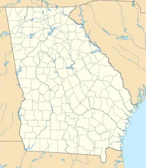
| Coordinates | 33°32′05″N 83°04′55″W |
| Area | 100 acres (40 ha) |
| Built | 1878 |
| Architectural style | Italianate, Queen Anne, et al. |
| NRHP reference No. | 01000740[1] |
| Added to NRHP | July 26, 2001 |
The district is a very irregular area roughly centered on Main St. (Georgia Route 15), Union Point Highway (Georgia Route 77), and Church St., within the city's essentially circular area.[2]
Among other properties, it includes the Siloam city cemetery, the Siloam Baptist Church, and the Siloam Presbyterian Church [2]
References
- "National Register Information System". National Register of Historic Places. National Park Service. November 2, 2013.
- Steven H. Moffson (April 15, 2001). "National Register of Historic Places Registration: Siloam Historic District". National Park Service. Retrieved June 3, 2018. With accompanying 28 photos from 1998
| Topics | |
|---|---|
| Lists by state |
|
| Lists by insular areas | |
| Lists by associated state | |
| Other areas | |
| Related | |
| |
This article is issued from Wikipedia. The text is licensed under Creative Commons - Attribution - Sharealike. Additional terms may apply for the media files.