South Branch Gale River
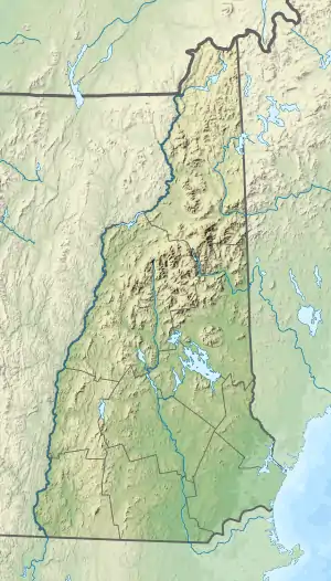
The South Branch of the Gale River is a 5.1-mile-long (8.2 km)[1] river in the White Mountains of New Hampshire in the United States. Via the Gale River, it is a tributary of the Ammonoosuc River and part of the Connecticut River watershed.
| South Branch Gale River | |
|---|---|
 The South Branch, south of the Gale River Loop Road | |
  | |
| Location | |
| Country | United States |
| State | New Hampshire |
| County | Grafton |
| Towns | Franconia, Bethlehem |
| Physical characteristics | |
| Source | Mount Lafayette |
| • location | Franconia |
| • coordinates | 44°10′32″N 71°38′54″W |
| • elevation | 3,640 ft (1,110 m) |
| Mouth | Gale River |
• location | Bethlehem |
• coordinates | 44°14′37″N 71°38′17″W |
• elevation | 1,310 ft (400 m) |
| Length | 5.1 mi (8.2 km) |
| Basin features | |
| Tributaries | |
| • left | Scarface Brook |
| • right | Burnt Brook, Thompson Brook |
The South Branch rises on the north slope of Mount Lafayette in the town of Franconia, New Hampshire, west of Garfield Ridge. It drops rapidly to the north and joins the North Branch to form the Gale River at the crossing of U.S. Route 3. The South Branch provides drinking water for the town of Bethlehem, New Hampshire.
See also
This article is issued from Wikipedia. The text is licensed under Creative Commons - Attribution - Sharealike. Additional terms may apply for the media files.