Little Magalloway River
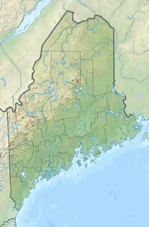
The Little Magalloway River is a 7.0-mile-long (11.3 km) river in northwestern Maine and northern New Hampshire in the United States.[1] It is a tributary of the Magalloway River, located in the Androscoggin River watershed of Maine and New Hampshire.
| Little Magalloway River | |
|---|---|
   | |
| Location | |
| Country | United States |
| States | New Hampshire, Maine |
| Counties | Coos, NH, Oxford, ME |
| Townships | Pittsburg, NH North Oxford, ME |
| Physical characteristics | |
| Source | Rump Mountain |
| • location | Pittsburg, NH |
| • coordinates | 45°11′57″N 71°4′50″W |
| • elevation | 2,700 ft (820 m) |
| Mouth | Magalloway River/Aziscohos Lake |
• location | North Oxford, ME |
• coordinates | 45°5′56″N 70°59′45″W |
• elevation | 1,517 ft (462 m) |
| Length | 7.0 mi (11.3 km) |
| Basin features | |
| Tributaries | |
| • right | Trestle Brook, Middle Branch Little Magalloway River |
The river rises in New Hampshire, just west of the state line, on the southern slopes of 3,654-foot-high (1,114 m) Rump Mountain. The river flows southeast, quickly entering the state of Maine, where it ends at Aziscohos Lake on the Magalloway River. The entire watershed is forested and subject to logging.
References
| Bay of Fundy |
| ||||||||||||||||||||||||||||||
|---|---|---|---|---|---|---|---|---|---|---|---|---|---|---|---|---|---|---|---|---|---|---|---|---|---|---|---|---|---|---|---|
| Casco Bay |
| ||||||||||||||||||||||||||||||
| Gulf of Maine |
| ||||||||||||||||||||||||||||||
| Merrymeeting Bay |
| ||||||||||||||||||||||||||||||
| Muscongus Bay |
| ||||||||||||||||||||||||||||||
| Penobscot Bay |
| ||||||||||||||||||||||||||||||
| Saco Bay |
| ||||||||||||||||||||||||||||||
| Gulf of Maine |
| ||||||||||
|---|---|---|---|---|---|---|---|---|---|---|---|
| Long Island Sound |
| ||||||||||
This article is issued from Wikipedia. The text is licensed under Creative Commons - Attribution - Sharealike. Additional terms may apply for the media files.