West Branch Little Magalloway River
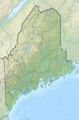
The West Branch of the Little Magalloway River is a 5.3-mile-long (8.5 km)[1] river in northern New Hampshire and northwestern Maine in the United States. It is a tributary of the Middle Branch Little Magalloway River, located in the Androscoggin River watershed of Maine and New Hampshire.
| West Branch Little Magalloway River | |
|---|---|
   | |
| Location | |
| Country | United States |
| States | New Hampshire, Maine |
| Counties | Coos, NH; Oxford, ME |
| Townships | Pittsburg, NH; North Oxford, ME |
| Physical characteristics | |
| Source | Stub Hill |
| • location | Pittsburg, NH |
| • coordinates | 45°7′48″N 71°5′31″W |
| • elevation | 2,380 ft (730 m) |
| Mouth | Middle Branch Little Magalloway River |
• location | North Oxford, ME |
• coordinates | 45°7′57″N 71°1′47″W |
• elevation | 1,620 ft (490 m) |
| Length | 5.3 mi (8.5 km) |
The West Branch rises in Pittsburg, New Hampshire, north of 3,627-foot (1,106 m) Stub Hill, the highest point in Pittsburg. The brook-sized river drops to the east into Maine, descending another 700 feet before joining the Middle Branch of the Little Magalloway a short distance upstream from Aziscohos Lake.[2]
References
| Bay of Fundy |
| ||||||||||||||||||||||||||||||
|---|---|---|---|---|---|---|---|---|---|---|---|---|---|---|---|---|---|---|---|---|---|---|---|---|---|---|---|---|---|---|---|
| Casco Bay |
| ||||||||||||||||||||||||||||||
| Gulf of Maine |
| ||||||||||||||||||||||||||||||
| Merrymeeting Bay |
| ||||||||||||||||||||||||||||||
| Muscongus Bay |
| ||||||||||||||||||||||||||||||
| Penobscot Bay |
| ||||||||||||||||||||||||||||||
| Saco Bay |
| ||||||||||||||||||||||||||||||
| Gulf of Maine |
| ||||||||||
|---|---|---|---|---|---|---|---|---|---|---|---|
| Long Island Sound |
| ||||||||||
This article is issued from Wikipedia. The text is licensed under Creative Commons - Attribution - Sharealike. Additional terms may apply for the media files.