Springfield to Fayetteville Road-Elkhorn Tavern Segment
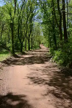
The Springfield to Fayetteville Road-Elkhorn Tavern Segment is a section of historic 19th-century roadway in Pea Ridge National Military Park in northwestern Arkansas. It is a dirt road, about 1 mile (1.6 km) long and 18 to 20 feet (5.5 to 6.1 m) wide, that was built in 1835. The first major road through northwestern Arkansas, it connected Fayetteville, Arkansas with Springfield, Missouri. The road was part of the major northern route of the Trail of Tears, the forcible remove in the late 1830s of Native Americans from east of the Mississippi River to what is now Oklahoma. The road was also actively used by both Union and Confederate forces during the American Civil War, and was the major route of advance by Confederate forces leading to the Battle of Pea Ridge, whose battlefield is preserved by the park.[2]
Springfield to Fayetteville Road-Elkhorn Tavern Segment | |
 | |
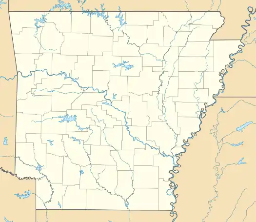  | |
| Nearest city | Garfield, Arkansas |
|---|---|
| Coordinates | 36°28′7″N 94°0′41″W |
| Area | 1 acre (0.40 ha) |
| Built | 1837 |
| MPS | Cherokee Trail of Tears MPS |
| NRHP reference No. | 05000484[1] |
| Added to NRHP | May 26, 2005 |
The road segment was listed on the National Register of Historic Places in 2005.[1]
See also
References
- "National Register Information System". National Register of Historic Places. National Park Service. July 9, 2010.
- "NRHP nomination for Springfield to Fayetteville Road-Elkhorn Tavern Segment" (PDF). Arkansas Preservation. Retrieved 2015-03-11.
| Topics | |
|---|---|
| Lists by state |
|
| Lists by insular areas | |
| Lists by associated state | |
| Other areas | |
| Related | |
| |