St. Mathias, Minnesota
St. Mathias is an unincorporated community in St. Mathias Township, Crow Wing County, Minnesota, United States. It is along Crow Wing County Road 121 near Hay Creek Road and Sleepy Hollow Road. Nearby places include Fort Ripley, Brainerd, and St. Mathias Park. Hay Creek and the Nokasippi River both flow nearby.
St. Mathias | |
|---|---|
 St. Mathias Location of the community of St. Mathias within St. Mathias Township, Crow Wing County  St. Mathias St. Mathias (the United States) | |
| Coordinates: 46°13′22″N 94°15′04″W | |
| Country | United States |
| State | Minnesota |
| County | Crow Wing |
| Township | St. Mathias Township |
| Elevation | 1,227 ft (374 m) |
| Time zone | UTC-6 (Central (CST)) |
| • Summer (DST) | UTC-5 (CDT) |
| ZIP code | 56449 |
| Area code(s) | 218 |
| GNIS feature ID | 654929[1] |
References
Municipalities and communities of Crow Wing County, Minnesota, United States | ||
|---|---|---|
| Cities | 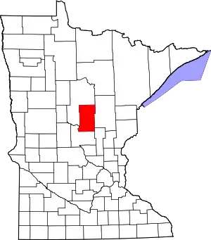 Map of Minnesota highlighting Crow Wing County | |
| Townships | ||
| Unorganized territories | ||
| CDP | ||
| Unincorporated communities | ||
| Indian reservation | ||
| Ghost towns | ||
| Footnotes | ‡This populated place also has portions in an adjacent county or counties | |
| ||
This article is issued from Wikipedia. The text is licensed under Creative Commons - Attribution - Sharealike. Additional terms may apply for the media files.