Taelayag Spanish Bridge
The Taelayag Spanish Bridge is a historic stone bridge in the United States territory of Guam. It is a stone arch bridge, built sometime between 1866 and 1898, and originally carried the coast road between Agat, Guam and Umatac across Taelayag Stream. It is now located about 1,800 feet (550 m) southwest of Guam Highway 2, the modern coast road. The bridge is a single-span stone arch with a span of 8 feet 10 inches (2.69 m) and a total structure length of 27 feet 9 inches (8.46 m). This bridge, like most of the bridges that survive from the Spanish period in Guam, was probably taken out of service around 1917.[2]
Taelayag Spanish Bridge | |
 | |
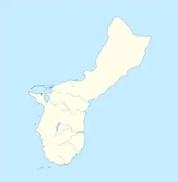
| Location | W of Guam Highway 2, Agat, Guam |
|---|---|
| Coordinates | 13°21′12″N 144°38′36″E |
| Area | less than one acre |
| Architectural style | Spanish stone and mortar construction |
| NRHP reference No. | 74002304[1] |
| Added to NRHP | October 10, 1974 |
The bridge was listed on the National Register of Historic Places in 1974.[1]
See also
References
- "National Register Information System". National Register of Historic Places. National Park Service. July 9, 2010.
- "NRHP nomination for Taelayag Spanish Bridge". National Park Service. Retrieved 2015-04-25.
This article is issued from Wikipedia. The text is licensed under Creative Commons - Attribution - Sharealike. Additional terms may apply for the media files.