Thanapara
Thanarpara is a village in the Karimpur II CD block in the Tehatta subdivision of the Nadia district in the state of West Bengal, India.
Thanapara | |
|---|---|
Village | |
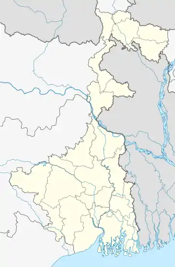
 Thanapara Location in West Bengal, India  Thanapara Thanapara (India) | |
| Coordinates: 23.956167°N 88.560833°E | |
| Country | |
| State | West Bengal |
| District | Nadia |
| Population (2011) | |
| • Total | 8,834 |
| Languages | |
| • Official | Bengali, English |
| Time zone | UTC+5:30 (IST) |
| Lok Sabha constituency | Murshidabad |
| Vidhan Sabha constituency | Karimpur |
| Website | nadia |
Geography
| Cities and towns in Tehatta subdivision of Nadia district CT: census town, R: rural/ urban centre. Owing to space constraints in the small map, the actual locations in a larger map may vary slightly |
Location
Thanapara is located at 23.956167°N 88.560833°E.
Area overview
Nadia district is mostly alluvial plains lying to the east of Hooghly River, locally known as Bhagirathi. The alluvial plains are cut across by such distributaries as Jalangi, Churni and Ichhamati. With these rivers getting silted up, floods are a recurring feature.[1] The Tehatta subdivision, presented in the map alongside, is topographically part of the Nadia Plain North. The Jalangi River forms the district/ subdivision border in the north-western part and then flows through the subdivision. The other important rivers are Mathabhanga and Bhairab. The eastern portion forms the boundary with Bangladesh.[2] The subdivision is overwhelmingly rural. 97.15% of the population lives in the rural areas and 2.85% lives in the urban areas.[3]
Note: The map alongside presents some of the notable locations in the subdivision. All places marked in the map are linked in the larger full screen map. All the four subdivisions are presented with maps on the same scale – the size of the maps vary as per the area of the subdivision.
Demographics
According to the 2011 Census of India, Thanapara had a total population of 8,834, of which 4,574 (52%) were males and 4,260 (48%) were females. Population in the age range 0–6 years was 1,005. The total number of literate persons in Thanapara was 4,466 (57.04% of the population over 6 years).[4]
Civic administration
Police station
Thanapara police station has jurisdiction over a portion of the Karimpur II CD block.[5][6] The total area covered by the police station is 97.08 km2 and the population covered is 97,294 (2001 census).[7]
Transport
Karimpur - Natidanga - Nazirpur road passes through the Thanarpara village. This road is an additional connector of State Highway 11. Bus services are available towards district headquarters Krishnagar via Natidanga route.
References
- Gangopadhyay, Basudev, Paschimbanga Parichay, 2001, (in Bengali), p. 70, Sishu Sahitya Sansad
- "District Census Handbook, Nadia, 2011, Series 20, Part XII A" (PDF). Pages 13,14. Directorate of Census Operations, West Bengal. Retrieved 15 October 2020.
- "District Statistical Handbook 2014 Nadia". Table 2.2, 2.4(a). Department of Planning and Statistics, Government of West Bengal. Retrieved 15 October 2020.
- "2011 Census – Primary Census Abstract Data Tables". West Bengal – District-wise. Registrar General and Census Commissioner, India. Retrieved 18 May 2017.
- "District Statistical Handbook 2014 Nadia". Table 2.1. Department of Planning and Statistics, Government of West Bengal. Retrieved 7 October 2020.
- "Nadia District Police". Police Unit. West Bengal Police. Retrieved 17 May 2017.
- "Thanarpara Police Station Details". Nadia Police. Archived from the original on 29 March 2016. Retrieved 17 May 2017.