Totopitk, Arizona
Totopitk is a populated place situated in Maricopa County, Arizona.[2] Totopitk is an O'odham word meaning "crooked" or "lopsided". Historically, it has been known by a plethora of names, including Tauabit, Tautabit, Toapit, Totabit, Toto-Bitk, Totobit, Totobit Tanks, and Totobitk. The name Totopitk became official as a result of a decision of the Board on Geographic Names in 1941. It has an estimated elevation of 2,064 feet (629 m) above sea level.[1]
Totopitk, Arizona | |
|---|---|
 Totopitk Location within the state of Arizona  Totopitk Totopitk (the United States) | |
| Coordinates: 32°33′48″N 112°12′47″W | |
| Country | United States |
| State | Arizona |
| County | Maricopa |
| Elevation | 2,064 ft (629 m) |
| Time zone | UTC-7 (Mountain (MST)) |
| • Summer (DST) | UTC-7 (MST) |
| Area code(s) | 520 |
| FIPS code | 04-75030 |
| GNIS feature ID | 24659 |
References
- "Feature Detail Report for: Tonto Estate". Geographic Names Information System. United States Geological Survey.
- "Totopitk (in Maricopa County, AZ) Populated Place Profile". AZ Hometown Locator. Retrieved June 2, 2017.
Municipalities and communities of Maricopa County, Arizona, United States | ||
|---|---|---|
| Cities | 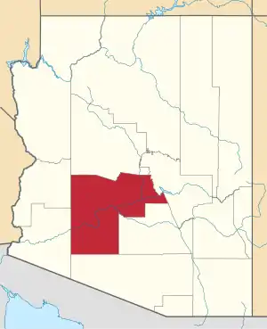 | |
| Towns | ||
| CDPs | ||
| Populated places |
| |
| Indian reservations | ||
| Ghost towns/ former populated places | ||
| Footnotes | ‡This populated place also has portions in an adjacent county or counties | |
| ||
This article is issued from Wikipedia. The text is licensed under Creative Commons - Attribution - Sharealike. Additional terms may apply for the media files.