Treeby, Western Australia
Treeby is the City of Cockburn’s newest suburb. It is located on the east side of the Kwinana Freeway, close to Cockburn Central. It is a southern suburb of Perth, falling within the City of Cockburn local government area. Treeby is primarily a rural area, originally part of Banjup, but was made a separate suburb in 2016. It is named after early settlers of the area, Joseph and Emma Treeby. In recent years, an area previously mined for sand was developed into a new residential estate called Calleya. Stockland has a large display village called Calleya with terraces, townhomes, house and land packages, and completed land. Stockland has sold over 1,100 house and land packages in Treeby.[2][1] The suburb was created in 2016 from the northern portion of the suburb of Banjup (extending above Armadale Road).[3] There is also a new estate called Kara Estate in the western part of the suburb.
| Treeby Perth, Western Australia | |||||||||||||||
|---|---|---|---|---|---|---|---|---|---|---|---|---|---|---|---|
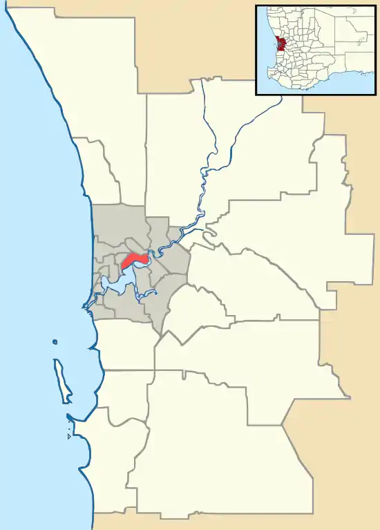
 Treeby Location in metropolitan Perth | |||||||||||||||
| Coordinates | 32.12°S 115.89°E[1] | ||||||||||||||
| Established | 2016 | ||||||||||||||
| Postcode(s) | 6164 | ||||||||||||||
| Location | 23 km (14 mi) from Perth | ||||||||||||||
| LGA(s) | City of Cockburn | ||||||||||||||
| Region | South Metropolitan Perth | ||||||||||||||
| State electorate(s) | Jandakot | ||||||||||||||
| Federal Division(s) | Fremantle | ||||||||||||||
| |||||||||||||||
Roads
Treeby is served by nearby roads including Jandakot Road, Armadale Road, and Warton Road. Major roads in the suburb include Clementine Boulevard, Ghostgum Avenue, Greensand Promenade and Sapphire Drive.
Bus services
Transperth provides public bus services and trains for the Perth metropolitan area, and this includes areas near Treeby. There are no bus services that go through the suburb as of September 2020. However, there is a proposed route through the Calleya Estate between Jandakot Road and Armadale Road servicing the Calleya Neighbourhood Centre and proposed primary school. This route is likely to ultimately connect Treeby with the Cockburn Central railway station and Murdoch railway station. The route is proposed to operate seven days a week every 15 minutes during weekday peak periods, every 60 minutes during off-peak weekdays. Services would be timed to formally connect with trains at Cockburn Central Station.
Railway stations
The suburb's closest railway stations are Cockburn Central (railway station) and Aubin Grove (railway station), located in the suburbs of Cockburn Central and Aubin Grove, respectively.
Geography
Treeby is bounded in the north by the eastern border of the Jandakot Industrial Area, Dollier Street, Solomon Road, Jandakot Road, Fraser Road, and the City of Canning, and in the east by the City of Armadale.
Local government area
Treeby is administered by the City of Cockburn.
See also
References
- "Treeby, the newest suburb for the City of Cockburn". Comment on Cockburn. Retrieved 23 September 2016.
- Bryce Luff (16 February 2016). "City stands by Treeby decision". Community News Group. Retrieved 23 September 2016.
- David Allan-Petale (23 September 2016). "Perth's newest suburb revealed...and it's going to have plenty of shade". WA Today. Retrieved 23 September 2016.