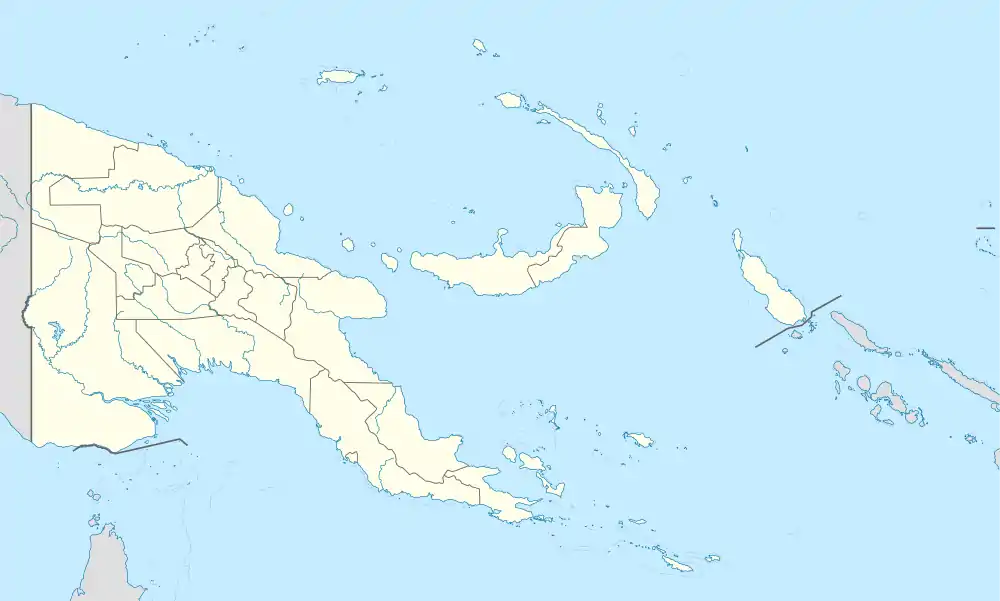
Utian Island
Utian Island is an island in Papua New Guinea, part of the Calvados Chain within the Louisiade Archipelago. It is located at the western end of the Calvados Chain, in the Louisiade Archipelago, in the Milne Bay Province.
| Nickname: Brooker Island | |
|---|---|
.JPG.webp) Satellite image | |
 Utian Island | |
| Geography | |
| Location | Oceania |
| Coordinates | 11°03′S 152°27′E[1] |
| Archipelago | Louisiade Archipelago |
| Adjacent bodies of water | Solomon Sea |
| Total islands | 1 |
| Major islands |
|
| Area | 1.54 km2 (0.59 sq mi) |
| Highest elevation | 141 m (463 ft) |
| Highest point | Mount Utian |
| Administration | |
| Province | |
| District | Samarai-Murua District |
| LLG [2] | Louisiade Rural LLG |
| Island Group | Calvados Chain |
| Largest settlement | Utian (pop. 400) |
| Demographics | |
| Population | 514 (2014) |
| Pop. density | 333.7/km2 (864.3/sq mi) |
| Ethnic groups | Papauans, Austronesians, Melanesians. |
| Additional information | |
| Time zone |
|
| ISO code | PG-MBA |
| Official website | www |
References
- Prostar Sailing Directions 2004 New Guinea Enroute, p. 168
- "LLG map" (PDF). Archived from the original (PDF) on 2010-08-11. Retrieved 2010-08-11.
This article is issued from Wikipedia. The text is licensed under Creative Commons - Attribution - Sharealike. Additional terms may apply for the media files.