Villepreux
Villepreux (French: [vilpʁø] (![]() listen)) is a commune in the Yvelines department in the Île-de-France in north-central France located about 12 km west of Versailles, in the plaine de Versailles, almost in line with the perspective of the Grand Canal (an axis corresponding to the former Allée royale de Villepreux). The municipality, in low relief, is marked in the northern part of the depression of the valley ru Gally, and its tributaries, the rue de l'Oisemont and the rue de l'Arcy.
listen)) is a commune in the Yvelines department in the Île-de-France in north-central France located about 12 km west of Versailles, in the plaine de Versailles, almost in line with the perspective of the Grand Canal (an axis corresponding to the former Allée royale de Villepreux). The municipality, in low relief, is marked in the northern part of the depression of the valley ru Gally, and its tributaries, the rue de l'Oisemont and the rue de l'Arcy.
Villepreux | |
|---|---|
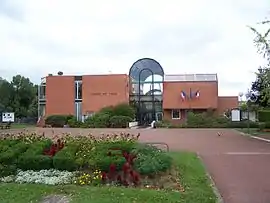 Town hall | |
 Coat of arms | |
Location of Villepreux 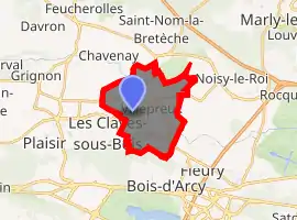
| |
 Villepreux 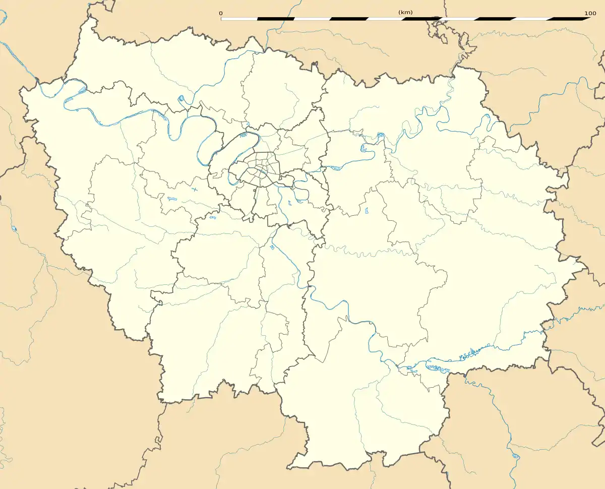 Villepreux | |
| Coordinates: 48°49′51″N 2°00′11″E | |
| Country | France |
| Region | Île-de-France |
| Department | Yvelines |
| Arrondissement | Versailles |
| Canton | Saint-Cyr-l'École |
| Intercommunality | Saint-Quentin-en-Yvelines |
| Government | |
| • Mayor (2008–2014) | Stéphane Mirambeau |
| Area 1 | 10.40 km2 (4.02 sq mi) |
| Population (2017-01-01)[1] | 10,947 |
| • Density | 1,100/km2 (2,700/sq mi) |
| Time zone | UTC+01:00 (CET) |
| • Summer (DST) | UTC+02:00 (CEST) |
| INSEE/Postal code | 78674 /78450 |
| Elevation | 82–155 m (269–509 ft) (avg. 80 m or 260 ft) |
| 1 French Land Register data, which excludes lakes, ponds, glaciers > 1 km2 (0.386 sq mi or 247 acres) and river estuaries. | |
The municipality is still largely rural. Urbanization is about 15% of the area, developed in the southern part, in the vicinity of Clayes-sous-Bois in the area served by railway services from Paris and Versailles.
Villepreux position in the Yvelines
The commune is primarily a historical village established around a castle built by the Francini family which today belongs to the family of the counts of Saint-Seine.
Further south, towards the SNCF train station, is the La Haie Bergerie quarter, a subdivision created by Jacques Riboud and his architect Roland Predieri -who later became the Mayor of Villepreux. Since the early 1960s terraced houses have since been rehabilitated by new generations of owners.
Towards the west, is a new division called Trianon, near the Pointe-à-l'Ange area, with built-up quality buildings, pavilions, and lush fields on the edge of the municipality of Chavenay. This is also the Val Joyeux area, another subdivision of 400 houses, dating from the post-war period and small newer residential houses and apartments on the edge of the forest of Bois d'Arcy.
The center has moved from the old village to the new neighborhoods.
The town is crossed in its southeastern part (Val Joyeux) by the l'aqueduc de l'Avre.
Education
Preschools:[2]
- Le Clos Crozatier
- Le Prieuré
- Le Val Joyeux
Elementary schools:[2]
- Jacques Gillet
- Jean de la Fontaine (Buildings A and B)
- Gérard Philipe
- Le Rased
There is one junior high school, Collège Léon Blum, and one senior high school/sixth form college, Lycée Sonia Delaunay.[2]
See also
References
- "Populations légales 2017". INSEE. Retrieved 6 January 2020.
- "Les établissements." Villepreux. Retrieved on September 3, 2016.
External links
| Wikimedia Commons has media related to Villepreux. |
- Home page (in French)
- Villepreux FC (Soccer club)
| Authority control |
|---|