Way Kanan Regency
Way Kanan Regency is a regency (kabupaten) of Lampung Province, Sumatra, Indonesia. It has an area of 3,921.63 km² and a population of 406,735 at the 2010 Census;[1] the latest official estimate (as at January 2014) was 425,544.[2] The administrative centre lies at Blambangan Umpu.
Way Kanan Regency
Kabupaten Way Kanan | |
|---|---|
 Way Kanan River Camp | |
 Coat of arms | |
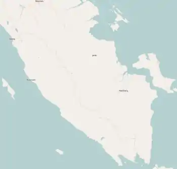
 Location within Lampung | |
| Coordinates: 4.4470°S 104.5275°E | |
| Country | Indonesia |
| Province | Lampung |
| Regency seat | Blambangan Umpu |
| Government | |
| • Regent | Raden Adipati Surya |
| • Vice Regent | Edward Antony |
| Area | |
| • Total | 3,921.63 km2 (1,514.15 sq mi) |
| Population (2014) | |
| • Total | 425,544 |
| • Density | 110/km2 (280/sq mi) |
| Time zone | UTC+7 (IWST) |
| Area code | (+62) 723 |
| Website | waykanankab |
Administrative districts
The regency is divided into fourteen districts (kecamatan), listed below with their populations at the 2010 Census.
| District | Population 2010 Census[3] |
|---|---|
| Bahuga | 9,631 |
| Banjit | 42,270 |
| Baradatu | 37,757 |
| Blambangan Umpu | 54,698 |
| Buay Bahuga | 19,008 |
| Bumi Agung | 23,445 |
| Gunung Labuhan | 26,906 |
| Kasui | 29,775 |
| Negara Batin | 33,616 |
| Negeri Agung | 32,572 |
| Negeri Besar | 18,138 |
| Pakuan Retu | 37,188 |
| Rebang Tangkas | 19,719 |
| Way Tuba | 20,400 |
.
References
- Biro Pusat Statistik, Jakarta, 2011.
- Biro Pusat Statistik, Jakarta, 2015.
- Biro Pusat Statistik, Jakarta, 2011.
This article is issued from Wikipedia. The text is licensed under Creative Commons - Attribution - Sharealike. Additional terms may apply for the media files.


