Whitehouse, Milton Keynes
Whitehouse is a district and civil parish that covers a large new development area on the western flank of Milton Keynes. As the first tier of Local Government, its community council is responsible for the people, living and working in this area of Milton Keynes.
| Whitehouse | |
|---|---|
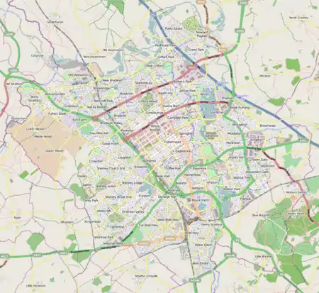 Whitehouse Mapping © OpenStreetMap 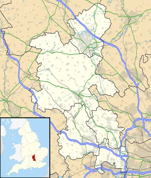 Whitehouse Location within Buckinghamshire | |
| Population | [lower-alpha 1] |
| OS grid reference | SP813378 |
| Civil parish |
|
| Unitary authority | |
| Ceremonial county | |
| Region | |
| Country | England |
| Sovereign state | United Kingdom |
| Post town | MILTON KEYNES |
| Postcode district | MK8 |
| Dialling code | 01908 |
| Police | Thames Valley |
| Fire | Buckinghamshire |
| Ambulance | South Central |
| UK Parliament | |
As of January 2019, it is bounded by Calverton Lane (the Monks Way (H3) alignment) to the north, Watling Street (V4) to the east, Dansteed Way (H4) to the south, and a hedgerow line[lower-alpha 2] from Calverton parish to the west.[1] The district covers 228 hectares (560 acres) (including open space) and is projected to have 4,400 homes and 6.5 hectares (16 acres) of employment land.[2]
Origins
The (greenfield) land it occupies was previously part of Calverton, a rural parish outside the Milton Keynes urban area. In 2004, the Government decided on the further expansion of Milton Keynes and accordingly designated land on the eastern and western flanks for this purpose.[3] Along with the adjacent parish of Fairfields (and Broughton on the eastern flank), this is the part of the implementation of that decision.
Etymolology
The district is (to be) built on land that was originally Whitehouse Farm (and other farms).[4]
Electoral ward (Borough)
Footnotes
- The parish did not exist at the time of the 2011 census. Its small population was included in the census for Calverton.
- May be replaced by an extension of Tattenhoe Street (V2)
References
- "Whitehouse". ONS. Retrieved 22 January 2019.
- "Western Expansion Area (WEA)". Milton Keynes Council. 4 June 2019. Retrieved 16 October 2016.
- Milton Keynes to double in size over next 20 years – Peter Hetherington, regional affairs editor, The Guardian, 6 Jan 2004
- "Buckinghamshire XIV.NE (includes: Bradwell Abbey; Loughton; Shenley Brook End; Shenley Church End; Whaddon; Wolverton.)". Ordnance Survey. 1900. Retrieved 16 October 2019 – via National Library of Scotland.