2003 Taungdwingyi earthquake
The 2003 Taungdwingyi earthquake struck central Myanmar at midnight, on 21 September with a magnitude of Mwb 6.6.
 2003 Taungdwingyi earthquake (Myanmar) | |
| UTC time | 2003-09-21 18:16:13 |
|---|---|
| ISC event | 7131681 |
| USGS-ANSS | ComCat |
| Local date | 21 September 2003 |
| Local time | Midnight |
| Magnitude | 6.6 Mwb |
| Depth | 10.0 km |
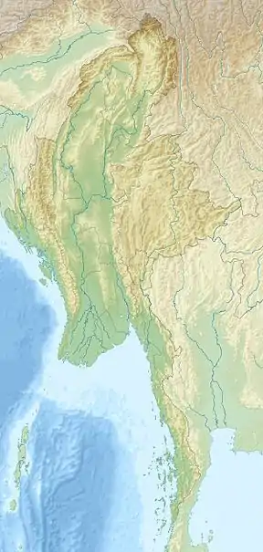
| Epicenter | 19.917°N 95.672°E |
| Fault | Gwegyo Thrust |
| Type | Oblique-slip |
| Areas affected | Myanmar |
| Total damage | Heavy |
| Landslides | Yes |
| Aftershocks | Yes |
| Casualties | 7-10 killed, 42 injured |
Geology
The earthquake occurred along the Gwegyo Thrust, a thrust fault running along the eastern foothills of the Pego Yoma range, and adjacent to the Sagaing Fault. Its epicenter is centered southeast of the nearby town of Taungdwingyi, at least 50 km from the Sagaing Fault and 360 km from Yangon. Shaking was felt in Bangkok and Chiang Mai.[1]
Damage and casualties
At least seven people were killed and 43 were injured. Damage was severe, over 180 ritual houses were destroyed, including a primary school that collapsed.[2] Liquefaction, sand boils and landslides were also reported.[3] The small death toll is attributed to the fact that this quake occurred around midnight, therefore the collapse of the school did not result in any injuries.
Aftershocks
Numerous aftershocks were recorded in the region. Four of them were greater than M5.0.[4][5][6][7]
References
- "Myanmar struck by strong earthquake". AFP. Sep 22, 2003.
- "Taungdwingyi Earthquake (2003)".
- "EARTHQUAKE AND TSUNAMI HAZARD IN MYANMAR". June 9, 2009 9:4 WSPC/238-JET 00048Journal of Earthquake and Tsunami. 3.
- "M 5.2 - Myanmar". US Geological Survey.
- "M 5.3 - Myanmar". US Geological Survey.
- "M 5.1 - Myanmar". US Geological Survey.
- "M 5.0 - Myanmar". US Geological Survey.