1946 Sagaing earthquakes
The 1946 Sagaing earthquakes (also known as the Wuntho earthquakes) struck central Burma at 15:17 local time on September 12.[1] The first earthquake registered a magnitude of 8.0 and was followed-up by an M7.8 main shock. Both events remain some of the largest in the country since the 1762 Arakan Earthquake.[1][2]
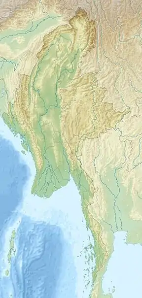 1946 Sagaing earthquakes (Myanmar) | |
| UTC time | 1946-09-12 15:17:23 |
|---|---|
| 1946-09-12 15:20:28 | |
| ISC event | 898579 |
| 898580 | |
| USGS-ANSS | ComCat |
| Local date | September 12, 1946 |
| Magnitude | 8.0 Mw |
| 7.8 Mw | |
| Depth | 35.0 km |
| 35.0 km | |
| Epicenter | 22.35°N 96.24°E |
| Fault | Sagaing Fault |
| Type | Strike-slip |
| Areas affected | Myanmar |
| Total damage | Several pagodas damaged |
| Casualties | 0 |
Tectonic setting
Both the mainshock and aftershock occurred along the Sagaing Fault; a continental transform fault boundary that links the Andaman Spreading Center to the south and the Main Himalayan Thrust to the north.[3] It defines the boundary between the Burma Plate and Sunda Plate. The Sagaing Fault is the most active geological structure in the country and poses significant risks to major cities such as Yangon, Mandalay and Naypyidaw. Another major tectonic feature in Myanmar is the Sunda Megathrust that runs off the coast of Western Myanmar and the Kabaw Fault that traces the foothills of the Arakan Mountains and Indo-Burman Range.
Earthquake
The M8.0 mainshock ruptured along the Sagaing Segment of the Sagaing Fault with an epicenter south of the Singu Plateau at a depth of 15.0 kilometers.[4][5] It had a rupture length of approximately 185 kilometers. A second shock of magnitude 7.8 came three minutes later and ruptured north of the first event for a length of 155 kilometers, its hypocenter was at a depth of 15.0 kilometers.[4]

Other events
Several major earthquakes have occurred along the Sagaing Fault close to the epicenter of the 1946 earthquakes:
- January 27, 1931: A magnitude 7.6 earthquake struck near the city of Myitkyina in Kachin State.[6]
- July 16, 1956: A magnitude 7.1 earthquake struck just outside Mandalay killing 38 people.[7]
- January 5, 1991: A magnitude 7.0 struck next to the Irrawaddy River.[8]
- June 15, 1992: A magnitude 6.3 occurred near Katha.[9]
- November 11, 2012: A magnitude 6.8 earthquake struck near Male, 120 kilometers north of Mandalay.[10][11] 26 lives were lost and went 12 missing.
References
- United States Geological Survey. "M8.0 - Myanmar". United States Geological Survey. Retrieved August 30, 2020.
- ISC: On-Line Bulletin. "Event 898580 Myanmar". International Seismological Centre. Archived from the original on 2020-10-17. Retrieved 31 August 2020.
- Aung, Hla Hla (August 2017). "Sagaing Fault" (PDF). Myanmar Earthquake History: 14 – via University of Yangon.
- Hurukawa, Maung Maung, Nobuo, Phyo (14 January 2011). "Two seismic gaps on the Sagaing Fault, Myanmar,derived from relocation of historical earthquakes since 1918". Geophysical Research Letters. 38: 3.
- Caltech (25 April 2014). "Active Tectonics and Earthquake Potential of the Myanmar region" (PDF). Journal of Geophysical Research: Solid Earth: 32–33 – via AGU Publishings.
- United States Geological Survey. "Myanmar - M7.6". United States Geological Survey. Retrieved August 30, 2020.
- United States Geological Survey. "M6.8 - Myanmar". United States Geological Survey. Retrieved 31 August 2020.
- United States Geological Survey. "M7.0 - Myanmar". United States Geological Survey. Retrieved 31 August 2020.
- United States Geological Survey. "M6.3 - Myanmar". United States Geological Survey. Retrieved 31 August 2020.
- Federico, Shireen. "Strong quake in Myanmar". Earth Observatory of Singapore. Retrieved 29 August 2020.
- United States Geological Survey (11 November 2012). "M6.8 - Myanmar". United States Geological Survey. Retrieved 31 August 2020.