1988 Myanmar-India earthquake
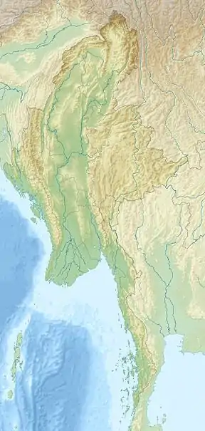
The 1988 Myanmar-India earthquake (also known as the Indo-Myanmar earthquake) struck the Sagaing Region of Myanmar, about 30 kilometres (19 mi) from the border with India on 6 August at 7:06 am MMT with a moment magnitude of 7.3. It was the largest earthquake in the world that year, after a Mw 7.8 in the Gulf of Alaska. Thirty eight people were killed, and 30 were injured as a result.[1][2] Serious damage were reported in India and Bangladesh. The earthquake was reportedly felt in the Soviet Union.
 1988 Myanmar-India earthquake (Myanmar) | |
| UTC time | 1988-08-06 00:36:24 |
|---|---|
| ISC event | 428070 |
| USGS-ANSS | ComCat |
| Local date | 6 August, 1988 |
| Local time | 7:06 am |
| Duration | 2 minutes |
| Magnitude | 7.3 Mw |
| Depth | 90.5 km |
| Epicenter | 25.149°N 95.127°E |
| Type | Oblique-reverse |
| Areas affected | Myanmar, India and Bangladesh |
| Landslides | Yes |
| Casualties | 38 dead, 30 injured or missing |
Earthquake
The earthquake was located in a rather remote area, over 200 miles (320 km) from Mandalay, Myanmar and Shillong, India, although many small settlements including Homalin, Maungkan, Hta Man Thi and Kawya lie close to it.[3] West of where the earthquake nucleated lies the Chin Hills-Arakan Range, a mountain belt formed by the collision of the Indian and Burma Plate, similar to the continental collision seen in the Himalayas. Focal mechanism indicated oblique-reverse faulting at an intermediate depth.[4] The earthquake likely occurred within the subducting Indian Plate. Shaking was felt for 2 minutes.
Damage, casualties and effects
Three people were killed and 30 injured or missing in Bangladesh after seiches formed in the Jamuna River at Dhaka caused a ferry boat to capsize.[5] Landslides were reported in India and Bangladesh. Subsidence of 20 centimetres (7.9 in) was recorded in Gauhati, India. Felt throughout Bangladesh and northeastern India, including Calcutta. The earthquake was also felt in parts of northwestern Myanmar and Kathmandu, Nepal.
At Assam, India, severe liquefaction caused damages roads and bridges of National Highway 37. A Hotel Regale in Silchar suffered extensively due to liquefaction, the floors had subsided and walls cracked. A section of an embankment slumped away, leaving a railroad between Borlongphar and Langchiliet hanging 8 meters above the ground.[6]
On August 21 that same year, a smaller but deadlier earthquake would affect the India and Nepal region again.
References
- Pandey, Auchitya Kumar; Chingtham, Prasanta; Roy, P. N. S. (2017). "Homogeneous earthquake catalogue for Northeast region of India using robust statistical approaches". Geomatics, Natural Hazards and Risk. 8 (2): 1477–1491. doi:10.1080/19475705.2017.1345794. S2CID 133793886 – via Taylor & Francis.
- "Earthquake Event Information MYANMAR (BURMA); INDIA: GAUHATI, SIBSAGAR, IMPHAL". NGDC.
- "7.3 Earthquake Rocks India-Burma Border". Los Angeles Times.
- "Focal Mechanism". US Geological Survey.
- "Tsunami Event Information BANGLADESH". NGDC.
- M. K. Gupta (4 June 1993). "Liquefaction During 1988 Earthquakes and a Case Study". Third International Conference on Case Histories in Geotechnical Engineering – via Missouri University of Science and Technology.