An t-Iasgair
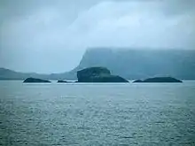
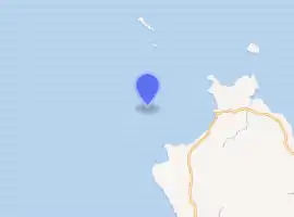
An t-Iasgair (Scottish Gaelic for the Fisherman) is a skerry in the Little Minch, to the north of the Trotternish peninsula of Skye. It lies 1.5 miles north north west of Ru Bornesketaig and is marked by a navigation light.[2] It is the largest and highest in a group of three rocks, with smaller neighbours of Sgeir nan Ruideag and An Dubh Sgeir.
 Sgeir nan Ruideag, An t-Iasgair and An Dubh Sgeir | |
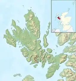 Isle of Skye | |
| |
| Location | Skye Highland Scotland United Kingdom |
|---|---|
| Coordinates | 57.685147°N 6.432696°W |
| Construction | metal skeletal structure |
| Markings / pattern | white structure |
| Focal height | 23 metres (75 ft) |
| Light source | solar power |
| Range | 9 nautical miles (17 km; 10 mi) |
| Characteristic | Fl W 6sec |
| Managing agent | Northern Lighthouse Board[1] |
References
- An-T-Iasgair Northern Lighthouse Board. Retrieved 21 May 2016
- "An-T-Iasgair". Northern Lighthouse Board. Retrieved 16 January 2011.
This article is issued from Wikipedia. The text is licensed under Creative Commons - Attribution - Sharealike. Additional terms may apply for the media files.
