Annaberg Historic District
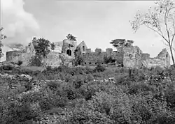
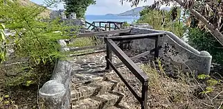
Annaberg Historic District is a historic section of Saint John, United States Virgin Islands where the Annaberg sugar plantation ruins are located. The district is located on the north shore of the island west of Mary's Point in the Maho Bay quarter.[2]
Annaberg Historic District | |
 | |
| Location | Saint John, United States Virgin Islands |
|---|---|
| Coordinates | 18°21′52″N 64°43′44″W |
| MPS | Virgin Islands National Park MRA |
| NRHP reference No. | 81000090[1] |
| Added to NRHP | July 23, 1981 |
References
- "National Register Information System". National Register of Historic Places. National Park Service. April 15, 2008.
- "Estate Annaberg, Maho Bay Quarter, St. John County, VI Data Pages". Estate Annaberg, Maho Bay Quarter, St. John County, VI. Historic American Buildings Survey. Retrieved 2008-07-22.
External links
![]() Media related to Annaberg Historic District at Wikimedia Commons
Media related to Annaberg Historic District at Wikimedia Commons
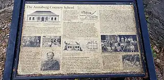
Annaberg School
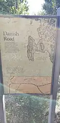
Danish Road
| Topics | |
|---|---|
| Lists by state |
|
| Lists by insular areas | |
| Lists by associated state | |
| Other areas | |
| Related | |
| |
This article is issued from Wikipedia. The text is licensed under Creative Commons - Attribution - Sharealike. Additional terms may apply for the media files.
