Arut River
Arut River is a river in the province of Kalimantan Tengah, island of Borneo, Indonesia, about 700 km northeast of the capital Jakarta.[1] It is a tributary of the Lamandau River.[2] The Arut River like the Lamandau with tourists who navigate it by speedboats to visit the Dayak peoples.
| Arut River Sungai Arut, Soengai Aroet | |
|---|---|
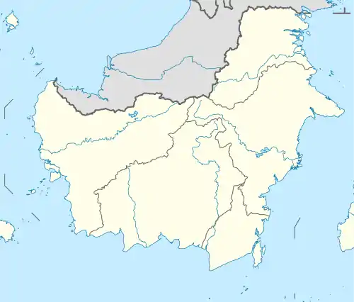 Location of river mouth  Arut River (Indonesia) | |
| Location | |
| Country | Indonesia |
| Province | Central Kalimantan |
| Physical characteristics | |
| Source | |
| • location | West Kotawaringin Regency |
| Mouth | Lamandau River |
Geography
The river flows in the southern area of Kalimantan with predominantly tropical rainforest climate (designated as Af in the Köppen-Geiger climate classification).[3] The annual average temperature in the area is 24 °C. The warmest month is October, when the average temperature is around 24 °C, and the coldest is July, at 22 °C.[4] The average annual rainfall is 2778 mm. The wettest month is November, with an average of 570 mm rainfall, and the driest is September, with 66 mm rainfall.[5]
References
- Sungai Arut at Geonames.org (cc-by); Last updated 2013-06-04; Database dump downloaded 2015-11-27
- H. D. Rijksen; E. Meijaard (1999). Our vanishing relative: the status of wild orang-utans at the close of the twentieth century. Springer. pp. 209–210. ISBN 978-0-7923-5754-4.
- Peel, M C; Finlayson, B L; McMahon, T A (2007). "Updated world map of the Köppen-Geiger climate classification". Hydrology and Earth System Sciences. 11: 1633–1644. doi:10.5194/hess-11-1633-2007. Retrieved 30 January 2016.
- "NASA Earth Observations Data Set Index". NASA. 30 January 2016.
- "NASA Earth Observations: Rainfall (1 month - TRMM)". NASA/Tropical Rainfall Monitoring Mission. 30 January 2016.