Keriau River
The Keriau or Krio River is a tributary of the Pawan River in West Kalimantan, Indonesia.[1]
| Keriau River | |
|---|---|
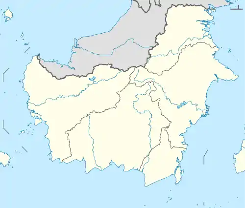 River mouth location 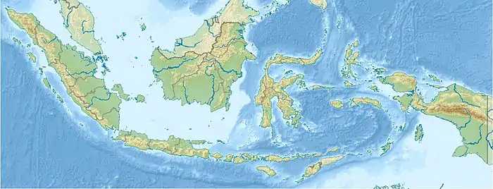 Keriau River (Indonesia) | |
| Location | |
| Country | Indonesia |
| Physical characteristics | |
| Source | |
| • location | West Kalimantan, Borneo |
| Mouth | Pawan River |
| Length | 197 kilometres (122 mi) |
Hydrology
The upper course of the river was the location of the Ulu Aik Kingdom (est. around 1700), later renamed Hulu Aik.
The Krio River rapids are reached by starting from Pontianak in the direction of Ketapang by speedboat for six hours, then a four-hour trip in a smaller boat.
Geography
The river flows in the western area of Borneo island with predominantly tropical rainforest climate (designated as Af in the Köppen-Geiger climate classification).[2] The annual average temperature in the area is 23 °C. The warmest month is May, when the average temperature is around 24 °C, and the coldest is December, at 22 °C.[3] The average annual rainfall is 3726 mm. The wettest month is December, with an average of 495 mm rainfall, and the driest is August, with 160 mm rainfall.[4]
References
- Sungai Keriau at Geonames.org (cc-by); Last updated 2012-01-17; Database dump downloaded 2015-11-27
- Peel, M C; Finlayson, B L; McMahon, T A (2007). "Updated world map of the Köppen-Geiger climate classification". Hydrology and Earth System Sciences. 11. doi:10.5194/hess-11-1633-2007.
- "NASA Earth Observations Data Set Index". NASA. 30 January 2016.
- "NASA Earth Observations: Rainfall (1 month - TRMM)". NASA/Tropical Rainfall Monitoring Mission. 30 January 2016.