Negara River
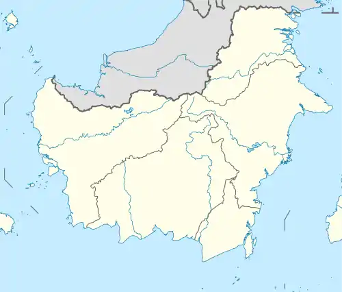
Negara River (Indonesian: Sungai Negara or Sungai Bahan) is a river of Borneo, Indonesia.[1] It flows in the southeast region of the island, within the Negara District, province of South Kalimantan.[2] It is the second longest river in the province after the Barito River, which Negara River flows into.
| Negara River Sungai Negara, Sungai Bahan | |
|---|---|
 Mouth location in Kalimantan (Borneo) | |
| Etymology | taken from the name of Negara District (formerly the center of Negara Daha Kingdom) |
| Location | |
| Country | Indonesia |
| Physical characteristics | |
| Source | confluence of Tabalong River and Balangan River |
| • location | Tabalong, South Kalimantan, Borneo |
| Mouth | Barito River |
• location | Marabahan, Barito Kuala |
• coordinates | 2.9867°S 114.7674°E |
| Basin size | 250,000 hectares (620,000 acres) |
| Basin features | |
| Tributaries | |
| • right | Amandit River; Batang Alai River |
Hydrology
This river is a tributary of Barito River. It rises in the Meratus Mountains, Tabalong Regency. The river mouth is located in the border of Tapin Regency and Barito Kuala Regency, where the small city of Marabahan (historic name: Bandar Muara Bahan) is located.
Negara River becomes the source of life for the people of South Kalimantan, especially in the northern region, both for the source of water or for transportation. Locations of interest along Negara River are: Margasari in Tapin Regency and Negara District in Hulu Sungai Selatan Regency.
Etymology
The river name is taken from the Negara District (formerly the center of Negara Daha Kingdom). During the Negara Daha (pre-Islamic) period, the river is called Sungai Bahan (ancient name: "Bahan River"). The watershed of Negara is called Batang Banyu area.
Geography
The river flows in the southeast area of Borneo island with predominantly tropical rainforest climate (designated as Af in the Köppen-Geiger climate classification).[3] The annual average temperature in the area is 24 °C. The warmest month is September, when the average temperature is around 26 °C, and the coldest is November, at 23 °C.[4] The average annual rainfall is 2767 mm. The wettest month is February, with an average of 366 mm rainfall, and the driest is September, with 75 mm rainfall.[5]
Landscape
This area can be reached using the road connecting Banjarmasin and Balikpapan, through Kandangan and Amuntai. With an area of around 250,000 hectare, this valley is one of the most fertile in Borneo (Kalimantan), resulting in higher population than other parts of Kalimantan. "Rawa Negara" ("Negara Swamp") is located between Barito River and Meratus Mountains, with open surface and deep water, stretching to the lakes area (Lake Bangkau, Lake Panggang and Lake Sembujur) forming a plain with seasonal flood and protecting the downstream area from flood or salt-water intrusion. The local people mostly from Banjar tribe, has an interesting land use system, combining various rice types which grow on the surface (floating), water buffalo and duck husbandry. The main habitat is the peat swamp forest, riparian forest, Melaleuca/Combretocarpus swamp forest, various open swamp with floating vegetation or grassy swamp, open water body and agricultural land. The people uses this area to find woods, cutting trees to make furniture, farm lands, fishery and bird hunting.[6]
References
- Rand McNally, The New International Atlas, 1993.
- Sungai Negara at Geonames.org (cc-by); Last updated 17 January 2012; Database dump downloaded 27 November 2015
- Peel, M C; Finlayson, B L; McMahon, T A (2007). "Updated world map of the Köppen-Geiger climate classification". Hydrology and Earth System Sciences. 11 (5): 1633–1644. doi:10.5194/hess-11-1633-2007.
- "NASA Earth Observations Data Set Index". NASA. 30 January 2016.
- "NASA Earth Observations: Rainfall (1 month – TRMM)". NASA/Tropical Rainfall Monitoring Mission. 30 January 2016.
- KID2 – Lembah Sungai Negara