Barrow, Cheshire
Barrow is a civil parish containing the villages of Great Barrow, Little Barrow and Stamford Bridge. It is situated about 4.5 miles (7 kilometres) east-north-east of Chester, 6 miles (10 kilometres) north-west of Tarporley, and 6 miles (10 kilometres) south of Frodsham.[1][2]
| Barrow | |
|---|---|
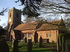
 St. Bartholomew's Church, Barrow | |
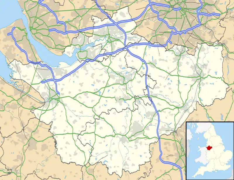
 Barrow Location within Cheshire | |
| Population | 941 (2011) |
| OS grid reference | SJ469685 |
| Civil parish |
|
| Unitary authority | |
| Ceremonial county | |
| Region | |
| Country | England |
| Sovereign state | United Kingdom |
| Post town | CHESTER |
| Postcode district | CH3 |
| Dialling code | 01829 |
| Police | Cheshire |
| Fire | Cheshire |
| Ambulance | North West |
| UK Parliament | |
| Website | www |
Little Barrow formerly had a station on the Mid-Cheshire line, named Barrow for Tarvin, but it closed in 1853.[3] The former Railway pub at Little Barrow is now the Foxcote tearoom,[4] but Great Barrow retains its pub, the White Horse, which also provides accommodation.[5]
Barrow Cricket Club has two Saturday teams and a midweek side. The 1st XI play in the Cheshire County Cricket League Division Two, and the 2nd XI plays in the Cheshire Cricket League Division B West.[6]
The population taken at the 2011 census was 941.[7]
References
- Ordnance Survey: Landranger map sheet 117 Chester & Wrexham (Ellesmere Port) (Map). Ordnance Survey. 2013. ISBN 9780319231609.
- "Ordnance Survey: 1:50,000 Scale Gazetteer" (csv (download)). www.ordnancesurvey.co.uk. Ordnance Survey. 1 January 2016. Retrieved 30 January 2016.
- "Station Name: Barrow for Tarvin". Disused Stations. Retrieved 14 August 2018.
- De Lucia, Carmella (12 March 2014). "Tearoom lives on with new buyers". Chester Chronicle. Retrieved 14 August 2018.
- "Home page". The White Horse. Retrieved 14 August 2018.
- "Home page". Barrow Cricket Club. Archived from the original on 14 August 2018. Retrieved 14 August 2018.
- "Parish population 2011". Archived from the original on 28 May 2015. Retrieved 28 May 2015.