CH postcode area
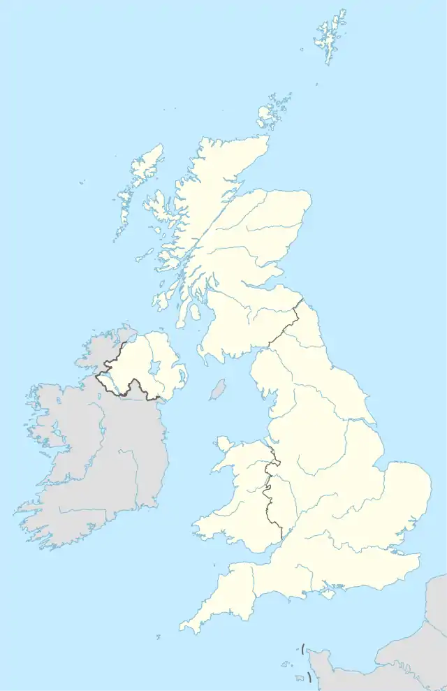
The CH postcode area, also known as the Chester postcode area,[2] is a group of 37 postcode districts in north-west England and north-east Wales, which are subdivisions of thirteen post towns. These districts cover west Cheshire (including Chester, Neston and Ellesmere Port), south-west Merseyside (including Birkenhead, Prenton, Wallasey and Wirral) and east Flintshire (including Deeside, Flint, Buckley, Bagillt, Holywell and Mold).
Chester | |
|---|---|
 CH | |
| Coordinates: 53.293°N 3.024°W | |
| Country | United Kingdom |
| Postcode area | CH |
| Postcode area name | Chester |
| Post towns | 13 |
| Postcode districts | 37 |
| Postcode sectors | 213 |
| Postcodes (live) | 18,790 |
| Postcodes (total) | 24,203 |
| Statistics as at May 2020[1] | |
The postcodes for the Wirral Peninsula were originally covered by the L postcode area, until they were transferred to the CH postcode area in 1999. The postcode numbers were unchanged, so L41 became CH41 and so on.[3]
Coverage
The approximate coverage of the postcode districts:
| Postcode district | Post town | Coverage | Local authority area(s) |
|---|---|---|---|
| CH1 | CHESTER | Blacon, Chester, Higher Ferry, Capenhurst, Backford | Cheshire West and Chester, Flintshire |
| CH2 | CHESTER | Backford, Chester, Elton, Hoole, Ince, Mickle Trafford, Moston, Newton by Chester, Upton by Chester | Cheshire West and Chester |
| CH3 | CHESTER | Boughton, Chester, Huntington, Mouldsworth, Tarvin, Tattenhall, Farndon, Waverton, Saighton, Upton by Chester | Cheshire West and Chester |
| CH4 | CHESTER | Chester, Curzon Park, Handbridge, Lache, Pulford, Penyffordd, Broughton, Saltney | Cheshire West and Chester, Flintshire |
| CH5 | DEESIDE | Connah's Quay, Shotton, Queensferry, Sealand, Garden City, Sandycroft, Hawarden, Ewloe, Mancot | Flintshire |
| CH6 | BAGILLT | Bagillt | Flintshire |
| FLINT | Flint, Oakenholt, Flint Mountain | ||
| CH7 | BUCKLEY | Buckley | Flintshire, Denbighshire |
| MOLD | Mold, Leeswood, Treuddyn, Llanarmon-yn-Ial, Caerwys, Northop Hall | ||
| CH8 | HOLYWELL | Holywell, Milwr, Holway, Carmel, Lloc, Bryn Celyn, Greenfield, Halkyn, Lixwm, Talacre | Flintshire |
| CH25 | BIRKENHEAD | PO Boxes | non-geographic |
| CH26 | PRENTON | PO Boxes | non-geographic |
| CH27 | WALLASEY | PO Boxes | non-geographic |
| CH28 | WIRRAL | PO Boxes in Moreton | non-geographic |
| CH29 | WIRRAL | PO Boxes in Hoylake | non-geographic |
| CH30 | WIRRAL | PO Boxes in Upton | non-geographic |
| CH31 | WIRRAL | PO Boxes in Heswall | non-geographic |
| CH32 | WIRRAL | PO Boxes in New Ferry | non-geographic |
| CH33 | NESTON | PO Boxes | non-geographic |
| CH34 | ELLESMERE PORT | PO Boxes | non-geographic |
| CH41 | BIRKENHEAD | Birkenhead, Claughton, Seacombe, Tranmere, Woodside | Wirral |
| CH42 | BIRKENHEAD | Birkenhead, Oxton, Prenton, Rock Ferry | Wirral |
| CH43 | PRENTON | Beechwood, Bidston, Noctorum, Oxton, Prenton | Wirral |
| CH44 | WALLASEY | Egremont, Liscard, Poulton, Seacombe, Wallasey | Wirral |
| CH45 | WALLASEY | New Brighton, Wallasey, Wallasey Village | Wirral |
| CH46 | WIRRAL | Leasowe, Moreton | Wirral |
| CH47 | WIRRAL | Hoylake, Meols, Saughall Massie, West Kirby | Wirral |
| CH48 | WIRRAL | Caldy, Frankby, Grange, Greasby, Hoylake, Meols, Newton, West Kirby | Wirral |
| CH49 | WIRRAL | Greasby, Landican, Saughall Massie, Upton, Woodchurch | Wirral |
| CH60 | WIRRAL | Gayton, Heswall | Wirral |
| CH61 | WIRRAL | Barnston, Heswall, Irby, Pensby, Thingwall, Thurstaston | Wirral |
| CH62 | WIRRAL | Bromborough, Eastham, New Ferry, Port Sunlight, Spital | Wirral |
| CH63 | WIRRAL | Brimstage, Bromborough, Clatterbridge, Higher Bebington, Lower Bebington, Raby, Raby Mere, Spital, Storeton, Thornton Hough | Wirral |
| CH64 | NESTON | Little Neston, Ness, Neston, Parkgate, Puddington, Willaston | Cheshire West and Chester |
| CH65 | ELLESMERE PORT | Ellesmere Port, Great Sutton, Whitby, Wolverham | Cheshire West and Chester |
| CH66 | ELLESMERE PORT | Childer Thornton, Ellesmere Port, Great Sutton, Hooton, Ledsham, Little Sutton, Overpool, Whitby | Cheshire West and Chester |
| CH88 | CHESTER | North West Securities Bank[4] | non-geographic |
| CH99 | CHESTER | Benefits Agency,[4] St. Michaels Financial Services & Chargecard[4] | non-geographic |
Map
Notes
References
- "ONS Postcode Directory Version Notes" (ZIP). National Statistics Postcode Products. Office for National Statistics. May 2020. Table 2. Retrieved 19 June 2020. Coordinates from mean of unit postcode points, "Code-Point Open". OS OpenData. Ordnance Survey. February 2012. Retrieved 21 April 2012.
- Royal Mail, Address Management Guide, (2004)
- "Why we are changing postcodes – Royal Mail". Wirral Globe website. Newsquest Media Group. 18 March 1999. Archived from the original on 7 December 2008. Retrieved 29 May 2009.
- "RM non-geographical postcode list" (PDF).
External links
This article is issued from Wikipedia. The text is licensed under Creative Commons - Attribution - Sharealike. Additional terms may apply for the media files.
