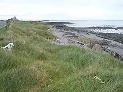
Burr Point
Burr Point is the easternmost point of mainland Northern Ireland and the island of Ireland. It is located in the townland of Ballyhalbert on the Ards Peninsula in County Down, at longitude 5.43ºW. It is a little more than a mile (or 2 km) southeast of the village of Ballyhalbert.[1]
Burr Point
An Bior | |
|---|---|
 | |
| Etymology: Irish bior, "point" | |
 Burr Point 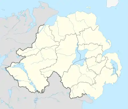 Burr Point 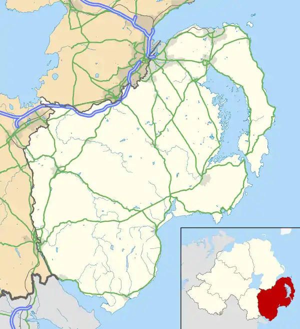 Burr Point | |
| Coordinates: 54.48714°N 5.43291°W | |
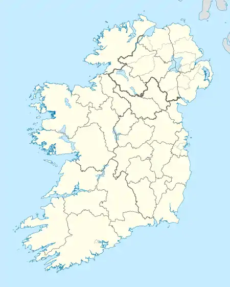
| Country | Northern Ireland |
| County | Down |
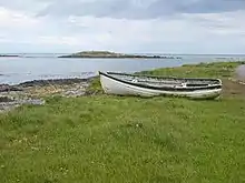
Burial Island off Burr Point
The most easterly point is Big Bow Meel Island, a rock situated 900 metres off the Ards Peninsula, at longitude 5.42ºW.[1]
References
- "Ireland - Geographical facts and figures". Travel through the Ireland story... Retrieved 2007-09-15.
| Wikimedia Commons has media related to Burr Point. |
This article is issued from Wikipedia. The text is licensed under Creative Commons - Attribution - Sharealike. Additional terms may apply for the media files.