Strangford
Strangford (from the Irish Baile Loch Cuan, meaning town on Strangford Lough)[3][4] is a small village at the mouth of Strangford Lough in County Down, Northern Ireland. It has a population of 475 according to the 2001 Census.
| Strangford | |
|---|---|
.JPG.webp) | |
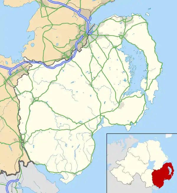 Location within County Down | |
| Population | 474 (2001 Census) |
| Irish grid reference | H8396 |
| District | |
| County | |
| Country | Northern Ireland |
| Sovereign state | United Kingdom |
| Postcode district | BT30 |
| Dialling code | 028 |
| UK Parliament | |
| NI Assembly | |
On the other side of the lough is Portaferry. The village is known for its unique ferry crossing service. Transport NI, an executive agency of the Department for Infrastructure, operates the Portaferry - Strangford Ferry service across Strangford Lough between the villages of Strangford and Portaferry. This crossing service has being running, in some sort for more than 4 centuries. To travel the distance between Strangford and Portaferry by road is approximately 75 kilometres and takes about an hour and a half by car. By contrast, the ferry route is approximately 0.6 nautical miles (1.1 km) with a typical crossing time of about 8 minutes.[5] The village has a small harbour, which is overlooked by rows of 19th-century cottages and a fine Georgian terrace.
History
In 1549 the name of the townland is recorded as vill’ de Ballenpery als Strangford. Ballinpery is from Irish: Baile na Peireadh, meaning "townland of the ferry". The Irish name of Strangford Lough is Loch Cuan - ‘sea-inlet of bays/havens’ and the name is documented as early as the year c.830. The village of Strangford is known in Irish as Baile Loch Cuan - ‘town on Strangford Lough’.[6][7]
In 1637 the Surveyor General of Customs issued a report compiled from accounts of customs due from each port and their "subsidiary creeks". Of the Ulster ports on the list, Carrickfergus was first, followed by Bangor, Donaghadee and Strangford.[8]
Strangford (strong-fjord) was the designated home of King Magnus (bare legs) Olafson. Upon his attempted siege of Uladh (ulster) he set up his fort in the (strong fjord) of Strangford. This was an ideal place for him to base himself and his army as he had good fortified grounds and quick access to an inland lough that leads directly out to the east onto the Irish Sea.
Despite having the same name, the village (and the wider ward of Strangford) is not in the Strangford parliamentary constituency or Assembly constituency, instead being in the South Down parliamentary constituency and Assembly constituency.
Sports
Strangford has two men's football teams who compete in the Newcastle & District Football League.
Places of interest
- Strangford Castle, near the harbour in Strangford, is a 16th-century tower house with a drop hole at roof level to defend the door.
- Castle Ward is an intriguing mansion built in 1760 in two distinct architectural styles, Classical and Gothic, overlooking Strangford Lough. The property is owned by the National Trust. Castleward is seven miles from Downpatrick and one-and-one-half miles from Strangford.
- Audley's Castle is a 15th-century castle one mile (1.6 km) northeast of Strangford, on a rocky height overlooking Strangford Lough, grid ref: J5781 5058.[9]
- Audleystown Court Cairn is a dual court grave near the south shore of Strangford Lough, north-west of Castle Ward, 1.75 miles from Strangford, at grid ref: 562 504).[10]
Gallery
%252C_August_2009.JPG.webp) Houses in Strangford, August 2009
Houses in Strangford, August 2009%252C_August_2009.JPG.webp) Strangford, August 2009
Strangford, August 2009%252C_August_2009.JPG.webp) Strangford Ferry terminal, August 2009
Strangford Ferry terminal, August 2009%252C_August_2009.JPG.webp) Strangford Castle, August 2009
Strangford Castle, August 2009%252C_August_2009.JPG.webp) Houses in Strangford, August 2009
Houses in Strangford, August 2009%252C_August_2009.JPG.webp) Strangford Ferry approaching Strangford slipway, August 2009
Strangford Ferry approaching Strangford slipway, August 2009
References
- Jordan's Castle – Department of the Environment
- Placenames Database of Ireland
- "Strangford, County Down". Place Names NI. Retrieved 26 March 2020.
- McKay, P (1999). A Dictionary of Ulster Placenames.
- "About the Ferry". Northern Ireland Roads Department. Archived from the original on 7 December 2009. Retrieved 13 September 2009.
- "Strangford, County Down". Place Names NI. Retrieved 26 March 2020.
- McKay, P (1999). A Dictionary of Ulster Placenames.
- O'Sullivan, Aidan & Breen, Colin (2007). Maritime Ireland — An Archaeology of Coastal Communities. Stroud: Tempus. p. 212. ISBN 978-0-7524-2509-2.
- Department of the Environment for Northern Ireland (1983). Historic Monuments of Northern Ireland. Belfast: HMSO. pp. 97–98.
- Department of the Environment for Northern Ireland (1983). Historic Monuments of Northern Ireland. Belfast: HMSO. p. 88.
External links
| Wikimedia Commons has media related to Strangford. |
| Wikivoyage has a travel guide for Strangford. |

| Authority control |
|
|---|