California Historical Landmarks in Los Angeles County
List table of the properties and districts — listed on the California Historical Landmarks in Los Angeles County, Southern California.
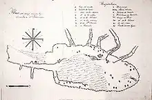
- Note: Click the "Map of all coordinates" link to the right to view a Google map of all properties and districts with latitude and longitude coordinates in the table below.
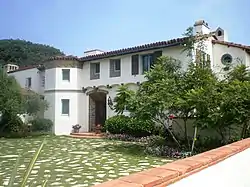
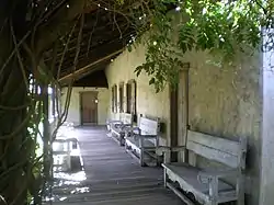
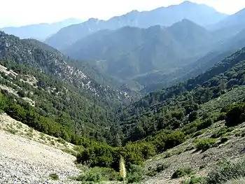
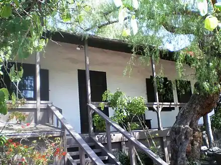
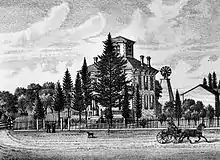
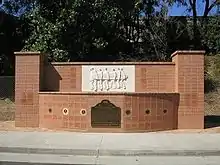
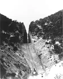
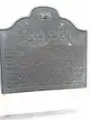
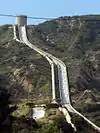
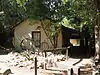
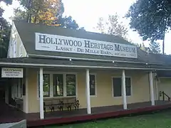
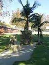
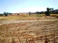

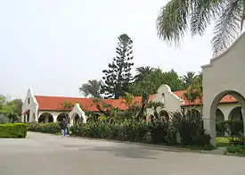
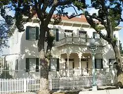
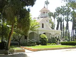
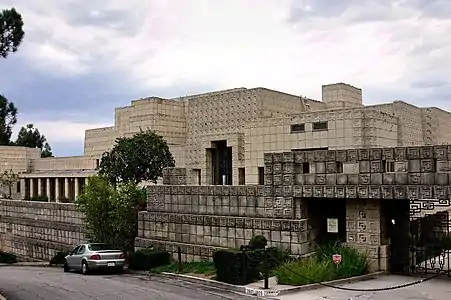
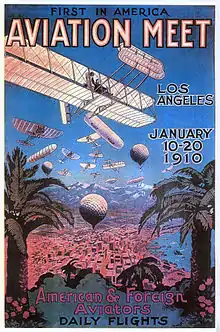
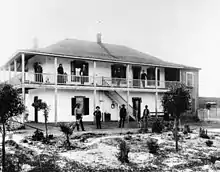
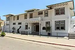
.jpg.webp)
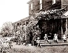
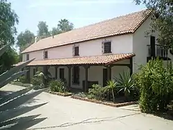
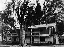
_Baldwin%252C_the_former_Hugo_Reid_Adobe%252C_at_Rancho_Santa_Anita%252C_ca.1903_(CHS-5178).jpg.webp)

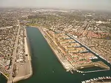
.JPG.webp)


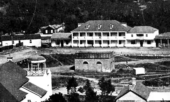
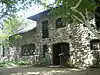
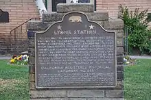
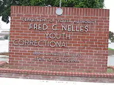
.jpg.webp)

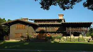
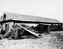
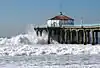
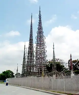
.jpg.webp)
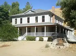
_(14596637437).jpg.webp)

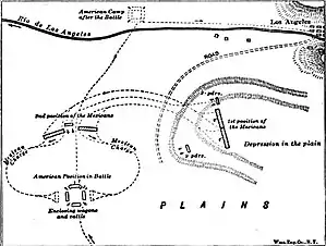
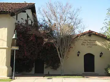
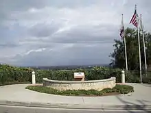
.jpg.webp)


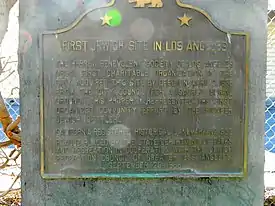
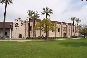
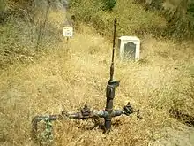
.JPG.webp)
.jpg.webp)

.jpg.webp)


See also
- List of California Historical Landmarks
- National Register of Historic Places listings in Pasadena, California
- National Register of Historic Places listings in Los Angeles County, California
- National Register of Historic Places listings in Los Angeles, California
References
| Wikimedia Commons has media related to California Historical Landmarks in Los Angeles County, California. |
- "California Historical Landmarks By County". Ohp.parks.ca.gov. Retrieved 2019-04-03.
This article is issued from Wikipedia. The text is licensed under Creative Commons - Attribution - Sharealike. Additional terms may apply for the media files.