Caribou River Provincial Park
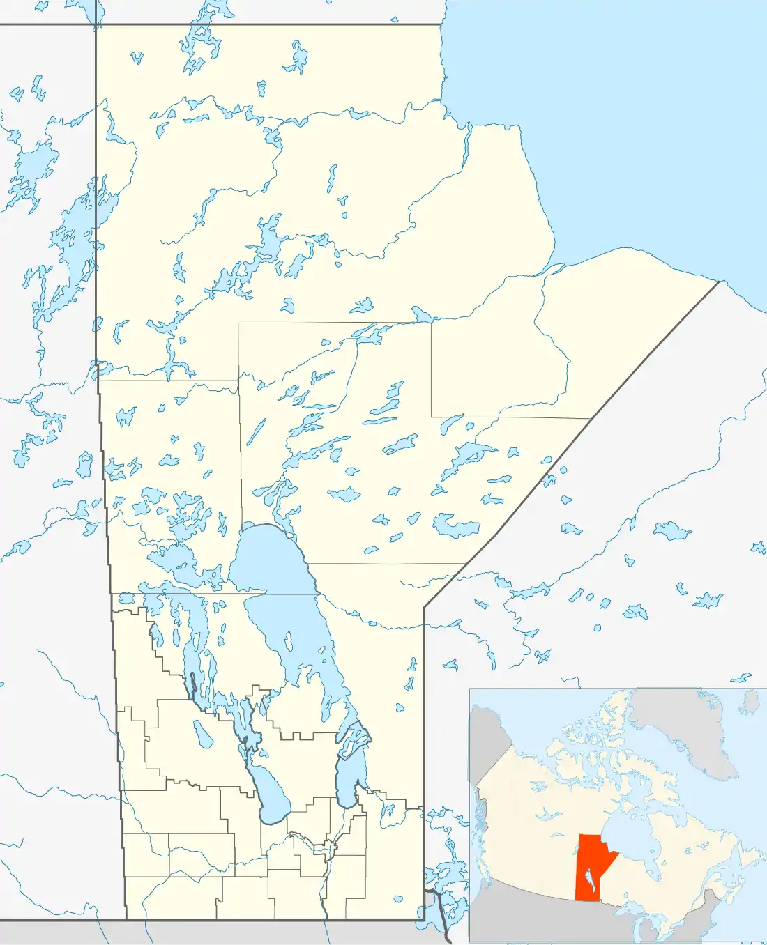
Caribou River Provincial Wilderness Park is a provincial park in extreme north-central Manitoba, Canada. It is the northernmost provincial park in Manitoba, and borders the southern Nunavut border.
| Caribou River Provincial Park | |
|---|---|
IUCN category Ib (wilderness area) | |
 | |
| Location | Manitoba, Canada |
| Nearest town | Churchill, Manitoba |
| Coordinates | 59.33°N 96.39°W |
| Area | 7,640 km2 (2,950 sq mi) |
| Established | 1995 |
| Governing body | Government of Manitoba |
Caribou River Provincial Park was designated a provincial park by the Government of Manitoba in 1995.[1] The park is 7,640 square kilometres (2,950 sq mi) in size.[1] The park is considered to be a Class Ib protected area under the IUCN protected area management categories.[2]
The park protects an area of the Taiga Shield Ecozone (CEC), including boreal forest, rivers and lakes, and low-lying wetlands forming extensive peatlands (bogs and fens). The park has a fairly rolling terrain with many rocky outcrops. Glacial till has been shaped into a mosaic of ridges and eskers, sinuous, rounded ridges deposited by during glaciation.
References
- A System Plan for Manitoba's Provincial Park (PDF). Government of Manitoba. March 1997. p. 16. Archived from the original (PDF) on 15 July 2017. Retrieved 1 July 2017.
- "Caribou River Provincial Park". Protected Plant. United Nations Environment World Conservation Monitoring Centre. Retrieved 1 July 2017.
See also