Netley Creek Provincial Park
Netley Creek Provincial Park is a Manitoba provincial park on the west shore of the Red River north of Selkirk, Manitoba at the mouth of Netley Creek.[1] It provides visitors with access to these waterways and adjacent Netley-Libau Marsh.
| Netley Creek Provincial Park | |
|---|---|
.jpg.webp) Netley Creek and Red River | |
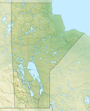 Location in Manitoba | |
| Location | Interlake Region, Manitoba |
| Nearest city | Selkirk, Manitoba |
| Coordinates | 50°17′17″N 96°51′50″W[1] |
| Area | 1.524 ha (3.77 acres) |
| Created | 1974 |
The area was declared a provincial park in 1974.[2] It is 1.524 ha (3.77 acres) in size.[2]
The park is in the Gimli ecodistrict of the Interlake Plain ecoregion part of the Boreal Plains ecozone.[3]
The Red River is prone to flooding in the spring.[4] The increasing severity of the impact of high water on the park infrastructure and neighbouring cottage leases resulted in a policy to allow much of the park to return to natural vegetation.[5]
References
- "Netley Creek Provincial Park". Geographical Place Names. Natural Resources Canada. Retrieved 17 July 2019.
- "A System Plan for Manitoba Parks". Government of Manitoba. 2018. Retrieved 7 January 2021.
- Smith, R.E; Veldhuis, H.; Mills, G.F.; Eilers, R.G.; Fraser, W.R.; Lelyk, G.W. "Terrestrial Ecozones, Ecoregions, and Ecodistricts of Manitoba An Ecological Stratification of Manitoba's Natural Landscapes" (PDF). Agriculture Canada. Agriculture and Agri-Food Canada. ISBN 0-662-27446-6. Retrieved 19 June 2019.
- "Flood Watch Tour" (PDF). Red River Corridor Inc. Retrieved 9 October 2019.
- "Breezy Point set for demolition". CBC News. 31 December 2009. Retrieved 9 October 2019.
External links
This article is issued from Wikipedia. The text is licensed under Creative Commons - Attribution - Sharealike. Additional terms may apply for the media files.