Carrollton Road-Carrollton Segment
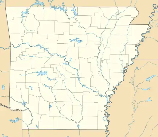
The Carrollton Road-Carrollton Segment is a historic 19th-century road in Boone County, Arkansas. It extends for more than 4 miles (6.4 km) eastward from Carrollton, which was once the county seat of Carroll County. The roadways matching the documented 1837 alignment of the road are (from west to east, beginning at U.S. Route 412) County Road 417, Terrapin Creek Road, and Dunkard Road, up to its junction with Green Hill Road. This stretch of dirt road has retained a 19th-century rural character, and is further significant as a route taken by Native American parties on the Trail of Tears in 1838.[2]
Carrollton Road-Carrollton Segment | |
  | |
| Nearest city | Carrollton, Arkansas |
|---|---|
| Area | 16 acres (6.5 ha) |
| MPS | Cherokee Trail of Tears MPS |
| NRHP reference No. | 08000432[1] |
| Added to NRHP | May 20, 2008 |
The road was listed on the National Register of Historic Places in 2008.[1]
References
- "National Register Information System". National Register of Historic Places. National Park Service. July 9, 2010.
- "NRHP nomination for Carrollton Road-Carrollton Segment" (PDF). Arkansas Preservation. Archived from the original (PDF) on 2015-02-01. Retrieved 2015-01-31.
This article is issued from Wikipedia. The text is licensed under Creative Commons - Attribution - Sharealike. Additional terms may apply for the media files.