Crane Lake, Minnesota
Crane Lake is an unincorporated community in Crane Lake Township, Saint Louis County, Minnesota, United States; located within the Kabetogama State Forest.
Crane Lake | |
|---|---|
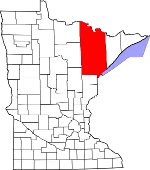
 Crane Lake Location of the community of Crane Lake within Crane Lake Township, Saint Louis County  Crane Lake Crane Lake (the United States) | |
| Coordinates: 48°16′00″N 92°29′19″W | |
| Country | United States |
| State | Minnesota |
| County | Saint Louis |
| Township | Crane Lake Township |
| Elevation | 1,135 ft (346 m) |
| Population | |
| • Total | 81 |
| Time zone | UTC-6 (Central (CST)) |
| • Summer (DST) | UTC-5 (CDT) |
| ZIP code | 55725 |
| Area code(s) | 218 |
| GNIS feature ID | 661065[1] |
The community is located 27 miles northeast of Orr, along Saint Louis County Roads 23 and 24. Crane Lake is located 45 miles northeast of Cook. The northern terminus of County Road 24 is at Crane Lake.
Crane Lake is the southern entry to the Voyageurs National Park; the western entry to the Boundary Waters Canoe Area Wilderness; and an entry into Canada.
Notes
Adjacent Crane Lake is known for walleye and small mouth bass fishing; having access to Sand Point Lake, Namakan Lake, Loon Lake, Lac La Croix, Ash River, and Kabetogama Lake, make the area a large chain of lakes. The Superior National Forest borders the east side of Crane Lake.
References
- Rand McNally Road Atlas – 2007 edition – Minnesota entry
- Official State of Minnesota Highway Map – 2011/2012 edition
| Authority control |
|
|---|