Ferrières-en-Brie
Ferrières-en-Brie (French: [feʁjɛʁ.ɑ̃.bʁi] (![]() listen)) is a commune in the Seine-et-Marne department in the Île-de-France region in north-central France.
listen)) is a commune in the Seine-et-Marne department in the Île-de-France region in north-central France.
Ferrières-en-Brie | |
|---|---|
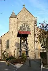 Saint Rémy Church | |
 Coat of arms | |
Location of Ferrières-en-Brie 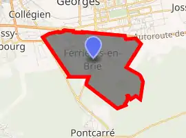
| |
 Ferrières-en-Brie 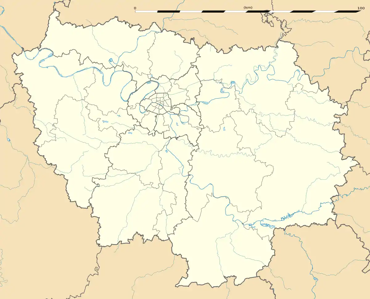 Ferrières-en-Brie | |
| Coordinates: 48°49′25″N 2°42′21″E | |
| Country | France |
| Region | Île-de-France |
| Department | Seine-et-Marne |
| Arrondissement | Provins |
| Canton | Ozoir-la-Ferrière |
| Intercommunality | CA Marne et Gondoire |
| Government | |
| • Mayor (2014–2020) | Mireille Munch |
| Area 1 | 6.75 km2 (2.61 sq mi) |
| Population (2017-01-01)[1] | 3,433 |
| • Density | 510/km2 (1,300/sq mi) |
| Time zone | UTC+01:00 (CET) |
| • Summer (DST) | UTC+02:00 (CEST) |
| INSEE/Postal code | 77181 /77164 |
| Elevation | 84–126 m (276–413 ft) |
| 1 French Land Register data, which excludes lakes, ponds, glaciers > 1 km2 (0.386 sq mi or 247 acres) and river estuaries. | |
Geography
Ferrières-en-Brie is located 26 km (16 mi) east of Paris, on the Brie plateau, between the Seine river and Marne river valleys. It is twinned with the village of Dunchurch, Warwickshire, United Kingdom.
Demographics
Inhabitants of Ferrières-en-Brie are called Ferrièrois.
Education
The town has a single public preschool and elementary school, groupe scolaire de la Taffarette.[2]
Castle
- Château de Ferrières, built in the 19th century by Joseph Paxton for James de Rotschild on the place of the former castle of Joseph Fouché, Duke of Otranto
References
- "Populations légales 2017". INSEE. Retrieved 6 January 2020.
- "L'école." Ferrières-en-Brie. Retrieved on September 3, 2016.
External links
| Wikimedia Commons has media related to Ferrières-en-Brie. |
- Home page (in French)
- 1999 Land Use, from IAURIF (Institute for Urban Planning and Development of the Paris-Île-de-France région) (in English)
- Base Mérimée: Search for heritage in the commune, Ministère français de la Culture. (in French)
- Château de la Ferrières english website
This article is issued from Wikipedia. The text is licensed under Creative Commons - Attribution - Sharealike. Additional terms may apply for the media files.