Foster Center, Rhode Island
Foster Center is a village in the town of Foster, Rhode Island, United States. It was listed as a census-designated place (CDP) in 2010,[2] with a population of 355.[3] Historic elements of the village are included in the Foster Center Historic District, which was added to the National Register of Historic Places on May 11, 1974. The district features various colonial and Greek Revival houses as well as the still functioning town building from the late 18th century.
Foster Center Historic District | |
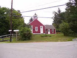 Foster School House in 2008 | |
  | |
| Location | Foster, Rhode Island |
|---|---|
| Coordinates | 41.7899°N 71.7288°W |
| Architectural style | Greek Revival, Colonial |
| NRHP reference No. | 74000050 [1] |
| Added to NRHP | May 11, 1974 |
Geography
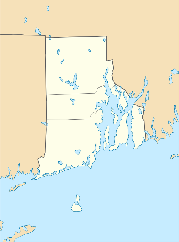
According to the U.S. Census Bureau, the CDP has a total area of 2.18 square miles (5.65 km2), of which 2.17 square miles (5.61 km2) is land and 0.015 square miles (0.04 km2), or 0.66%, is water.[4] The village is located near the western border of Rhode Island along Rhode Island Route 94, which leads north to West Glocester and south towards Clayville.
Images
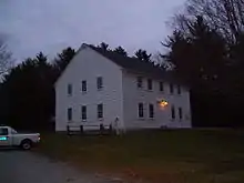 Foster Town Building, ca. 1796, the oldest government meeting house of its type in the United States where town meetings have been held continuously since 1801
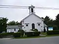 Foster Center's Baptist Church
 Foster's Town Pound, ca. 1845
References
- "National Register Information System". National Register of Historic Places. National Park Service. January 23, 2007.
- U.S. Geological Survey Geographic Names Information System: Foster Center, Rhode Island
- "Profile of General Population and Housing Characteristics: 2010 Demographic Profile Data (DP-1): Foster Center CDP, Rhode Island". United States Census Bureau. Retrieved October 12, 2012.
- "Geographic Identifiers: 2010 Demographic Profile Data (G001): Foster Center CDP, Rhode Island". United States Census Bureau. Retrieved October 12, 2012.
| Wikimedia Commons has media related to Foster Center Historic District. |
Municipalities and communities of Providence County, Rhode Island, United States | ||
|---|---|---|
| Cities |  Map of Rhode Island highlighting Providence County | |
| Towns | ||
| CDPs | ||
| Other villages | ||
| ||
| Topics | |
|---|---|
| Lists by state |
|
| Lists by insular areas | |
| Lists by associated state | |
| Other areas | |
| Related | |
| |