Gaven Reefs
The Gaven Reefs, also known in Mandarin Chinese: 南薰礁; pinyin: Nánxūn Jiāo and Chinese: 西南礁; pinyin: Xīnán Jiāo; Burgos Reefs (Tagalog: Mga Bahura ng Burgos, lit. 'Reefs of Burgos'); Vietnamese: Đá Ga Ven and Vietnamese: Đá Lạc, is a group of two reefs in the Tizard Bank of the Spratly Islands in the South China Sea.
| Disputed island Other names: 南薰礁 Nánxūn Jiāo (Chinese) 西南礁 Xīnán Jiāo (Chinese) Burgos Reefs (Philippine English) Mga Bahura ng Burgos (Filipino) Đá Ga Ven (Vietnamese) Đá Lạc (Vietnamese) | |
|---|---|
| Geography | |
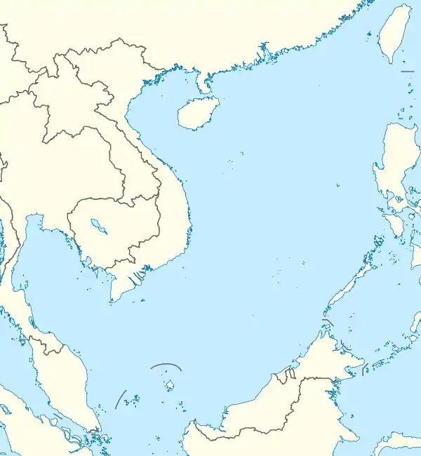
| Location | South China Sea |
| Coordinates | 10°12′30″N 114°13′30″E |
| Administered by | |
| Province | Hainan |
| City | Sansha |
| Claimed by | |
They are occupied and controlled by China (PRC) as part of Sansha, and claimed by Taiwan (ROC), the Philippines and Vietnam. They have a supply platform and a reef fortress.
The northern reef (Nánxūn Jiāo) comprises 86 hectares (210 acres) and its highest point is 1.9 meters (6 feet 3 inches) above sea level. The southern reef (Xīnán Jiāo) comprises 67 ha (170 acres).[1] Since 2014, north reef has been subject to significant reclamation activities.[2]
Geographical features
On 12 July 2016, the tribunal of the Permanent Court of Arbitration concluded that for purposes of Article 121(3) of the Convention, the high-tide features at Gaven Reef (North) is rocks that cannot sustain human habitation or economic life of their own and accordingly shall be entitled to 12nm of territorial sea measured from its baseline but have no exclusive economic zone or continental shelf.[3] PCA also concluded that Gaven Reef (South) is, or in their natural condition was, exposed at low tide and submerged at high tide and are, accordingly low-tide elevations that do not generate entitlement to a territorial sea, exclusive economic zone or continental shelf.[3]
Military development
The supply platform at the reefs has anti-aircraft guns, naval guns, search radars and radio communications equipment,[4] and reclamation work during 2014–15 expanded its area to 0.136 square kilometres (0.053 sq mi).[2]
In late 2016, photographs emerged which suggested that Hughes Reef has been armed with anti-aircraft weapons and a CIWS missile-defence system.[5]
See also
References
- D. J. Hancox, John Robert Victor Prescott (1995). A Geographical Description of the Spratly Islands and an Account of Hydrographic Surveys Amongst Those Islands, Volume 1. IBRU. Retrieved 2012-07-25.
- "Gaven reef tracker". Center for Strategic and International Studies. Retrieved 13 July 2017.
- "Award" (PDF). Permanent Court of Arbitration. 12 July 2016. Archived from the original (PDF) on 29 January 2019. Retrieved 17 July 2016. p.259
- DJ Sta. Ana, News5 (2011-05-24). "China builds more Spratly outposts". The Philippine Star. Archived from the original on 2016-06-05. Retrieved 2012-07-25.
- "China's New Spratly Island Defenses". Center for Strategic and International Studies. 2016-12-13. Retrieved 2016-12-17.
| Related articles | |||||||||||
|---|---|---|---|---|---|---|---|---|---|---|---|
| Confrontations | |||||||||||
| Regions | |||||||||||
| Occupied features | |||||||||||
| Unoccupied features | |||||||||||
