Greater Khingan
The Greater Khingan Range or Da Hinggan Range (simplified Chinese: 大兴安岭; traditional Chinese: 大興安嶺; pinyin: Dà Xīng'ān Lǐng; IPA: [tâ ɕíŋ.án.lìŋ]), is a 1,200-kilometer (750 mi)-long volcanic mountain range in the Inner Mongolia region of Northeast China.[1]
| Greater Khingan Range | |
|---|---|
_in_Greater_Khingan_range%252C_Manchuria%252C_China.JPG.webp) The Yalu river in the Greater Khingan range | |
| Highest point | |
| Elevation | 2,035 m (6,677 ft) |
| Coordinates | 49°22′57″N 123°09′24″E |
| Naming | |
| Native name | 大兴安岭 (Chinese) |
| Geography | |
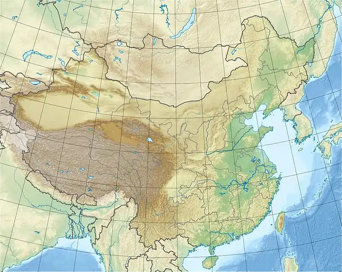 Greater Khingan Range Located in Northeast China | |
| Geology | |
| Mountain type | Tilted block faulting |
Geography
The range extends 1,200 kilometers (750 mi) from north to south. It is the watershed between the Nen and Songhua river systems to the east, and the Amur and its tributaries to the northwest.[2]
Population
Its slopes are a relatively rich grazing area. The Khitan people lived on the eastern slopes[3] before establishing the Liao Dynasty in the tenth century. Oroqen, a Tungusic peoples, live along the Greater and Lesser Khingan range in northeastern China and belong to the oldest autochthonus populations of the region. On the western slopes lived the nomadic people, who raised sheep and camels and used the Mongolian plateau for their pastoralist economy.[3]
See also
References
- "The Greater Khingan range in winter". China Daily. 28 December 2015. Retrieved 30 December 2015.
- "Da Hinggan Range". Encyclopaedia Britannica. Retrieved 17 September 2020.
- Mote, F.W. (1999). Imperial China: 900–1800. Harvard University Pres. p. 32s. ISBN 0-674-01212-7.
Mountain ranges of China | |
|---|---|
| Northwest China | |
| Qinghai-Tibet and Southwest China | |
| Northeast China | |
| North and East China | |
| Central China | |
| South China | |
This article incorporates text from a publication now in the public domain: Wood, James, ed. (1907). The Nuttall Encyclopædia. London and New York: Frederick Warne. Missing or empty |title= (help)