Idlès
Idlès (Arabic: إدلس) is a municipality in Tazrouk District, Tamanrasset Province, Algeria. According to the 2008 census it has a population of 4,945,[1] up from 3,791 in 1998,[2] with an annual growth rate of 2.7%.[1] Its postal code is 11110 and its municipal code is 1105. The largest nearby city is Tamanrasset; other smaller towns include In Amguel to the west and Tazrouk to the south.
Idlès
إدلس | |
|---|---|
Commune and town | |
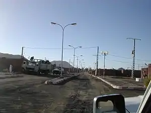 A road in Idlès | |
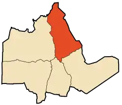 Location of Idlès commune within Tamanrasset Province | |
 Idlès Location of Idlès within Algeria | |
| Coordinates: 23°49′13″N 5°56′11″E | |
| Country | |
| Province | Tamanrasset |
| District | Tazrouk |
| Government | |
| • PMA Seats | 7 |
| Area | |
| • Total | 54,125 km2 (20,898 sq mi) |
| Elevation | 1,399 m (4,590 ft) |
| Population (2008)[1] | |
| • Total | 4,945 |
| • Density | 0.091/km2 (0.24/sq mi) |
| Time zone | UTC+01 (CET) |
| Postal code | 11110 |
| ONS code | 1106 |
Geography
Idlès is located at an elevation of 1,399 metres (4,590 ft) in the Hoggar mountains of southern Algeria. The town lies on the eastern bank of the Oued Tarouda.[3] The surrounding area belongs to the West Saharan montane xeric woodlands ecoregion.
Climate
Idlès has a hot desert climate (Köppen climate classification BWh), with very hot summers and mild winters, and very little precipitation throughout the year. Compared to other towns in the Sahara of southern Algeria its summers are less hot and it receives somewhat more precipitation due to its altitude.
| Climate data for Idlès | |||||||||||||
|---|---|---|---|---|---|---|---|---|---|---|---|---|---|
| Month | Jan | Feb | Mar | Apr | May | Jun | Jul | Aug | Sep | Oct | Nov | Dec | Year |
| Average high °C (°F) | 18.4 (65.1) |
21.0 (69.8) |
25.0 (77.0) |
29.5 (85.1) |
33.2 (91.8) |
35.9 (96.6) |
36.1 (97.0) |
35.3 (95.5) |
33.6 (92.5) |
29.5 (85.1) |
24.9 (76.8) |
20.1 (68.2) |
28.5 (83.4) |
| Daily mean °C (°F) | 10.8 (51.4) |
13.0 (55.4) |
16.9 (62.4) |
21.4 (70.5) |
25.4 (77.7) |
28.8 (83.8) |
29.2 (84.6) |
28.5 (83.3) |
26.5 (79.7) |
22.1 (71.8) |
17.4 (63.3) |
12.7 (54.9) |
21.1 (69.9) |
| Average low °C (°F) | 3.2 (37.8) |
5.1 (41.2) |
8.8 (47.8) |
13.4 (56.1) |
17.7 (63.9) |
21.7 (71.1) |
22.3 (72.1) |
21.7 (71.1) |
19.4 (66.9) |
14.8 (58.6) |
10.0 (50.0) |
5.3 (41.5) |
13.6 (56.5) |
| Average precipitation mm (inches) | 2 (0.1) |
2 (0.1) |
3 (0.1) |
2 (0.1) |
4 (0.2) |
4 (0.2) |
2 (0.1) |
5 (0.2) |
5 (0.2) |
3 (0.1) |
3 (0.1) |
3 (0.1) |
38 (1.6) |
| Source: climate-data.org[4] | |||||||||||||
Transportation
Idlès lies just north of the N55 national highway, which leads west to In Amguel and east to Bordj El Houasse. Another road leads south from the highway to Tazrouk.
Education
1.7% of the population has a tertiary education (the equal lowest in the province), and another 10.6% has completed secondary education.[5] The overall literacy rate is 65.1%, and is 79.9% among males and 48.4% among females.[6]
Localities
The commune is composed of six localities:[7]
References
- "Population: Wilaya de Tamanrasset" (PDF) (in French). Office National des Statistiques Algérie. Archived from the original (PDF) on 13 November 2011. Retrieved 30 May 2013.
- "Algeria Communes". Statoids. Retrieved 8 March 2013.
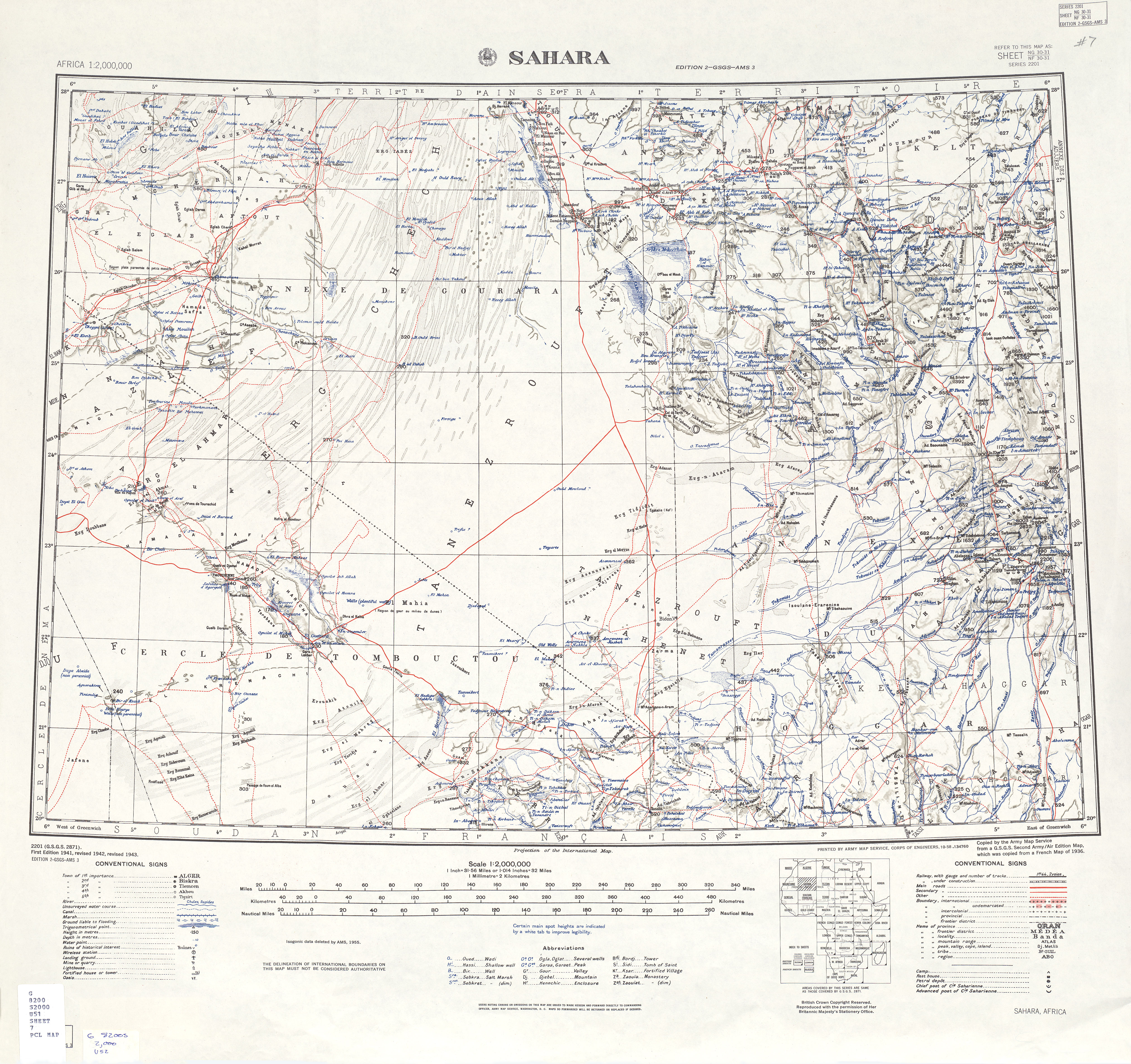
- "Africa AMS Topographic Maps - Sahara". University of Texal Libraries. Retrieved 31 May 2013.
- "Climate data for: Idles". climate-data.org. Retrieved 31 May 2013.
- "Structure relative de la population résidente des ménages ordinaires et collectifs âgée de 6 ans et plus selon le niveau d'instruction et la commune de résidence" (PDF) (in French). Office National des Statistiques Algérie. Archived from the original (PDF) on 13 November 2011. Retrieved 30 May 2013.
- "Taux d'analphabétisme et taux d'alphabétisation de la population âgée de 15 ans et plus, selon le sexe et la commune de résidence " (PDF) (in French). Office National des Statistiques Algérie. Archived from the original (PDF) on 13 November 2011. Retrieved 30 May 2013.
- "Décret n° 84-365, fixant la composition, la consistance et les limites territoriale des communes. Wilaya de Tamanghasset" (PDF) (in French). Journal officiel de la République Algérienne. 19 December 1984. p. 1496. Archived from the original (PDF) on 5 May 2015. Retrieved 2 March 2013.
Places adjacent to Idlès | |
|---|---|
| Tamanrasset District | .svg.png.webp) | |||||
|---|---|---|---|---|---|---|
| In Salah District | ||||||
| Tazrouk District | ||||||
| Abalessa District | ||||||
| In Ghar District | ||||||
| Tin Zaouatine District | ||||||
| In Guezzam District | ||||||
