Juvigné
Juvigné is a commune in the Mayenne department in north-western France.
Juvigné | |
|---|---|
Location of Juvigné 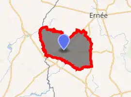
| |
 Juvigné  Juvigné | |
| Coordinates: 48°13′50″N 1°01′59″W | |
| Country | France |
| Region | Pays de la Loire |
| Department | Mayenne |
| Arrondissement | Mayenne |
| Canton | Ernée |
| Government | |
| • Mayor (2008–2014) | Gérard Lemonnier |
| Area 1 | 62.16 km2 (24.00 sq mi) |
| Population (2017-01-01)[1] | 1,456 |
| • Density | 23/km2 (61/sq mi) |
| Time zone | UTC+01:00 (CET) |
| • Summer (DST) | UTC+02:00 (CEST) |
| INSEE/Postal code | 53123 /53380 |
| Elevation | 113–224 m (371–735 ft) (avg. 207 m or 679 ft) |
| 1 French Land Register data, which excludes lakes, ponds, glaciers > 1 km2 (0.386 sq mi or 247 acres) and river estuaries. | |
It is located on the borders of Normandy, Brittany and the northern Loire, it is predominantly an agricultural region known for its cattle rearing. The village is also known locally for being one of the prettiest in the region and is named the 'Village of Flowers' after its summer foral displays. It is also home to a small farming museum, and there is an impressive neo-classical church, presbytery and historic former school building in the village.
See also
References
- "Populations légales 2017". INSEE. Retrieved 6 January 2020.
| Wikimedia Commons has media related to Juvigné. |
| Authority control |
|---|
This article is issued from Wikipedia. The text is licensed under Creative Commons - Attribution - Sharealike. Additional terms may apply for the media files.
