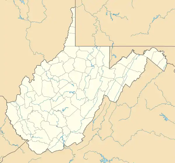
Lawrenceville, West Virginia
Lawrenceville is an unincorporated community in Hancock County, West Virginia, United States. It is located on the East Liverpool South U.S. Geological Survey Map, and lies at an elevation of 978 feet (289 m).[1][2]
Lawrenceville, West Virginia | |
|---|---|
 Lawrenceville  Lawrenceville | |
| Coordinates: 40°37′03″N 80°32′37″W | |
| Country | United States |
| State | West Virginia |
| County | Hancock |
| Time zone | UTC-5 (Eastern (EST)) |
| • Summer (DST) | UTC-4 (EDT) |
Lawrenceville is directly adjacent to the city of Chester, and has been closely connected to it throughout their histories. It uses the Chester zip code of 26034, although it is considered its own community. The history of Lawrenceville goes back to 1714, when a trading post was established in the area. The town was created by the then Virginia legislature in 1814. It once had its own elementary school, but students today commute to Chester.
GNIS ID codes
The GNIS ID codes for Lawrenceville are as follows:
- Lawrenceville: 1554924
- Hancock County: 1560574
- West Virginia: 1779805[3]
Notable landmarks
References
- "US > West Virginia > Hancock County > Lawrenceville Lawrenceville (in Hancock County, WV) Populated Place Profile". WVHome Town Locator. Retrieved 26 July 2016.
- U.S. Geological Survey Geographic Names Information System: Lawrenceville, West Virginia
- "Lawrenceville, West Virginia". Roadside Thoughts. Retrieved 26 July 2016.
- "Archived copy". Archived from the original on 2009-05-21. Retrieved 2009-08-03.CS1 maint: archived copy as title (link)
Municipalities and communities of Hancock County, West Virginia, United States | ||
|---|---|---|
| Cities | 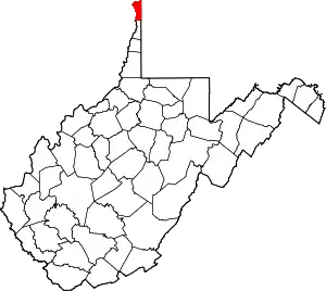 Map of West Virginia highlighting Hancock County | |
| CDP | ||
| Unincorporated communities | ||
| Footnotes | ‡This populated place also has portions in an adjacent county or counties | |
| ||
| Counties |  Map of the Pittsburgh Tri-State with green counties in the metropolitan area and yellow counties in the combined area | |
|---|---|---|
| Major cities | ||
| Cities and towns 15k–50k (in 2010) | ||
| Airports | ||
| Topics | ||
| ||
This article is issued from Wikipedia. The text is licensed under Creative Commons - Attribution - Sharealike. Additional terms may apply for the media files.