Mirosławiec
Mirosławiec [mʲirɔˈswavʲɛt͡s] (German: Märkisch Friedland; Kashubian: Frédlądk) is a town in Wałcz County, West Pomeranian Voivodeship, Poland, with 4,837 inhabitants (2007).
Mirosławiec | |
|---|---|
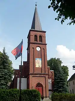 Immaculate Conception church in Mirosławiec | |
 Flag 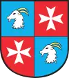 Coat of arms | |
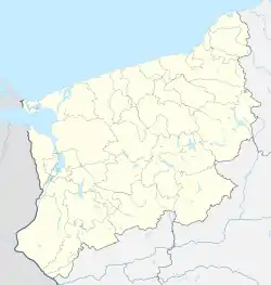 Mirosławiec 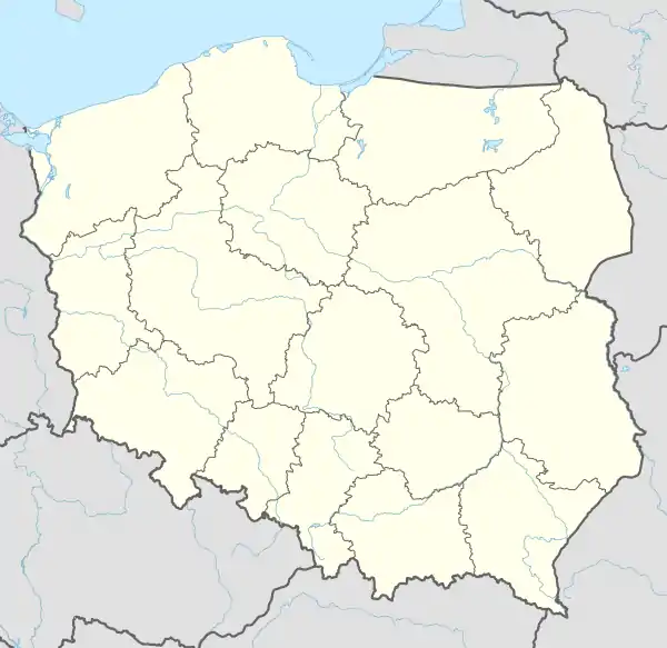 Mirosławiec | |
| Coordinates: 53°20′38″N 16°5′14″E | |
| Country | |
| Voivodeship | |
| County | Wałcz |
| Gmina | Mirosławiec |
| Area | |
| • Total | 2.13 km2 (0.82 sq mi) |
| Population (2006) | |
| • Total | 2,633 |
| • Density | 1,200/km2 (3,200/sq mi) |
| Time zone | UTC+1 (CET) |
| • Summer (DST) | UTC+2 (CEST) |
| Postal code | 78-650 |
| Area code(s) | +48 67 |
| Car plates | ZWA |
The 12th Air Base of the Polish Air Force is located 5 kilometres (3 miles) north of the town.
Mirosławiec is a former private town, once located in the Poznań Voivodeship of the Crown of the Kingdom of Poland.
People
- Knobelsdorff, German Wiki (ca.14th) noble family, [1] founders of Märkisch Friedland
- Akiva Eiger (1761-1837) Rabbi in Märkisch Friedland 1791 until 1815 [2]
- Philipp Phoebus (1804–1880), German physician and pharmacologist
- Benjamin Liebermann (1812-1901), German textile manufacturer
- Heinrich von Friedberg (1813–1895), German jurist and statesman
- Joseph Abraham Stargardt (1822–1885), German businessman
- Julius Wolff (1836–1902), German surgeon
See also
References
- Google Books, Sebastian von Knobelsdorff
- Chisholm, Hugh, ed. (1911). . Encyclopædia Britannica. 09 (11th ed.). Cambridge University Press.
External links
| Town and seat | | |
|---|---|---|
| Villages | ||
This article is issued from Wikipedia. The text is licensed under Creative Commons - Attribution - Sharealike. Additional terms may apply for the media files.
