National Register of Historic Places listings in Joshua Tree National Park
This is a list of the National Register of Historic Places listings in Joshua Tree National Park.
This is intended to be a complete list of the properties and districts on the National Register of Historic Places in Joshua Tree National Park, California, United States. The locations of National Register properties and districts for which the latitude and longitude coordinates are included below, may be seen in an online map.
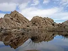
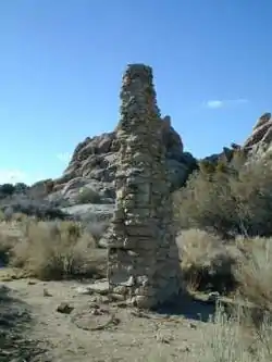
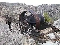
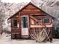
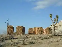
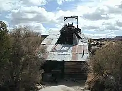
There are six properties and districts listed on the National Register in the park.
- This National Park Service list is complete through NPS recent listings posted February 5, 2021.[1]
Current listings
See also
References
- "National Register of Historic Places: Weekly List Actions". National Park Service, United States Department of the Interior. Retrieved on February 5, 2021.
- Numbers represent an alphabetical ordering by significant words. Various colorings, defined here, differentiate National Historic Landmarks and historic districts from other NRHP buildings, structures, sites or objects.
- The eight-digit number below each date is the number assigned to each location in the National Register Information System database, which can be viewed by clicking the number.
External links
| Wikimedia Commons has media related to National Register of Historic Places in Joshua Tree National Park. |
| Topics | |
|---|---|
| Lists by state |
|
| Lists by insular areas | |
| Lists by associated state | |
| Other areas | |
| Related | |
| |
This article is issued from Wikipedia. The text is licensed under Creative Commons - Attribution - Sharealike. Additional terms may apply for the media files.