Nerkin Hand
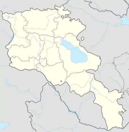
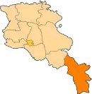
Nerkin Hand (Armenian: Ներքին Հանդ) is a village in the Kapan Municipality of the Syunik Province in Armenia.
Nerkin Hand
Ներքին Հանդ | |
|---|---|
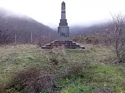 WWII monument in Nerkin Hand | |
 Nerkin Hand | |
| Coordinates: 39°02′28″N 46°31′01″E | |
| Country | |
| Province | Syunik |
| Municipality | Kapan |
| Area | |
| • Total | 9.64 km2 (3.72 sq mi) |
| Population | |
| • Total | 97 |
| • Density | 10/km2 (26/sq mi) |
| Time zone | UTC+4 (AMT) |
| Nerkin Hand at GEOnet Names Server | |
Demographics
References
- "Syunik regional e-Governance System" (in Armenian). Syunik Province provincial government. Click on link entitled "Համայնքներ" (community) and search for the place by Armenian name.
- Statistical Committee of Armenia. "The results of the 2011 Population Census of the Republic of Armenia" (PDF).
- "Marzes of Armenia and Yerevan City in Figures, 2010" (PDF). Statistical Committee of Armenia.
- Report of the results of the 2001 Armenian Census, Statistical Committee of Armenia
This article is issued from Wikipedia. The text is licensed under Creative Commons - Attribution - Sharealike. Additional terms may apply for the media files.