Tegh
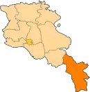
Tegh (Armenian: Տեղ) is a village and the center of the Tegh Municipality of the Syunik Province in Armenia. Tegh is the last village on the Goris-Stepanakert Highway before passing the border with the Republic of Artsakh.
Tegh
Տեղ | |
|---|---|
 | |
 Tegh | |
| Coordinates: 39°33′17″N 46°28′33″E | |
| Country | |
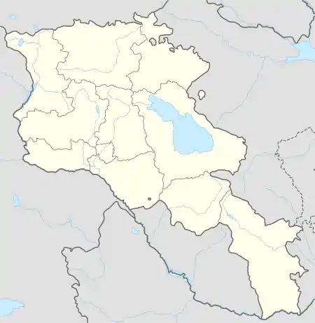
| Province | Syunik |
| Municipality | Tegh |
| Population | |
| • Total | 2,443 |
| Time zone | UTC+4 (AMT) |
| Tegh at GEOnet Names Server | |
Of significance in the village, are the dozens of visible caves present near Tegh. The village is underlaid by a soft stone layer of porous rock, replete with rows of caves that were once used for human habitation, now largely used for animals. There are also some very large ones facing highway M12. Rows of them are visible from the highway while driving east.
Demographics
Population
The Statistical Committee of Armenia reported its population was 2,520 in 2010,[2] up from 2,333 at the 2001 census.[3]
Gallery
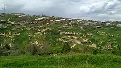
 "Cave City" in Tegh
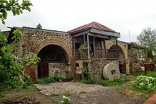 Residential complex "Amarath" of the Melik-Barkhudaryans (1783)
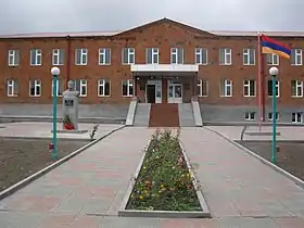 School in Tegh
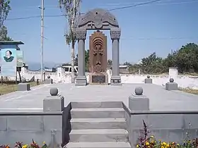 Khachkar monument in memory of the victims of the First Nagorno-Karabakh War
.jpg.webp) Saint George's Church in Tegh
Saint George's Church in Tegh
References
| Wikimedia Commons has media related to Tegh. |
This article is issued from Wikipedia. The text is licensed under Creative Commons - Attribution - Sharealike. Additional terms may apply for the media files.